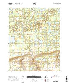
2017 Map of Beaver A-1 NW
USGS Topo · Published 2017About this map
Beaver Creek meanders heavily through this portion of the Yukon Flats in northern Alaska, creating a complex network of oxbows and wetlands. The topography is defined by the flat, marshy basin between higher elevations in the southern reaches, where the land rises into more defined ridges within t15n r1e and t15n r2e. In the west, Twin Lakes and Beaver Slough highlight the shifting nature of the drainage system in this subarctic interior. This 2017 survey by the U.S. Geological Survey uses data from the National Hydrography Dataset and National Elevation Dataset to document a landscape shaped entirely by its water systems and seasonal wetlands, offering a clear record of the region's physical geography before any significant human development or infrastructure altered the natural flow of the flats.
Find a feature on this map
8 named features on this map. Tap any name to fly to it.
Don’t see what you’re looking for? This feature index may not catch every label — zoom into the map to look around manually.
Map Details
Editions of this 2017 Beaver A-1 NW Map
This is the sole edition of this map. No revisions or reprints were ever made.
Other maps of this area

1951 · Beaver
USGS Topo · 1:250,000

1956 · Beaver B-2
USGS Topo · 1:63,360
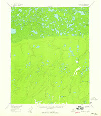
1956 · Beaver A-1
USGS Topo · 1:63,360
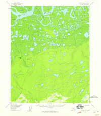
1956 · Beaver A-2
USGS Topo · 1:63,360

1956 · Beaver
USGS Topo · 1:250,000

1956 · Beaver B-1
USGS Topo · 1:63,360

1964 · Beaver
USGS Topo · 1:250,000
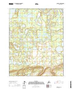
2017 · Beaver A-2 NE
USGS Topo · 1:25,000
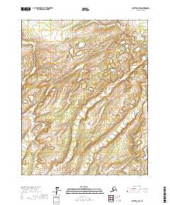
2017 · Beaver A-1 SW
USGS Topo · 1:25,000
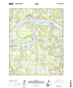
2017 · Beaver B-1 SW
USGS Topo · 1:25,000