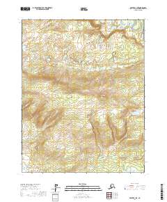
2017 Map of Beaver B-3 NE
USGS Topo · Published 2017About this map
Owl Hills and the prominent height of Owl High define this interior Alaskan landscape, characterized by a complex network of wetland basins and low ridges. The presence of John Barleycorn Lakes in the east and Queer Ponds further north suggests the slow drainage patterns typical of this subarctic region, where water moves through seasonal drainages like Owl Cr and Bull Cr. The terrain is marked by significant topographical markers such as Little Dome and Hermit Ridge, which offer perspective over the surrounding Bear Gulch. This 2017 survey provides an exacting record of the township and range lines across a region defined by its hydrography rather than human settlement, serving as a baseline for environmental study and topographical history in the Yukon-Koyukuk Census Area.
Find a feature on this map
13 named features on this map. Tap any name to fly to it.
Don’t see what you’re looking for? This feature index may not catch every label — zoom into the map to look around manually.
Map Details
Editions of this 2017 Beaver B-3 NE Map
This is the sole edition of this map. No revisions or reprints were ever made.
Other maps of this area

1951 · Beaver
USGS Topo · 1:250,000

1956 · Beaver B-2
USGS Topo · 1:63,360

1956 · Beaver B-3
USGS Topo · 1:63,360

1956 · Beaver
USGS Topo · 1:250,000

1964 · Beaver
USGS Topo · 1:250,000
1990 · Beaver C-2
USGS Topo · 1:63,360
1990 · Beaver C-3
USGS Topo · 1:63,360
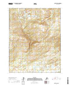
2017 · Beaver B-3 NW
USGS Topo · 1:25,000
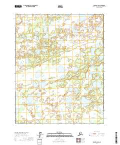
2017 · Beaver B-3 SW
USGS Topo · 1:25,000
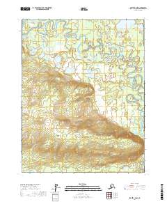
2017 · Beaver B-2 NW
USGS Topo · 1:25,000