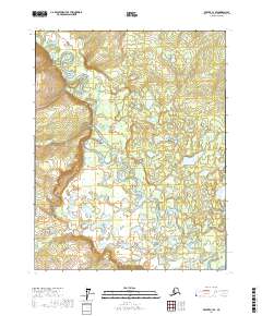
2017 Map of Beaver C-3 SE
USGS Topo · Published 2017About this map
The Hodzana River snakes across this interior landscape, carving a complex series of tight oxbows and meanders through the wilderness. This survey, conducted by the U.S. Geological Survey, illustrates the dynamic nature of the river as it shifts through the low-lying terrain of the Yukon-Koyukuk Census Area. The topography is defined by the heavy presence of wetlands and ephemeral water bodies that flank the river's path, indicating a seasonally shifting hydrologic environment. Located within the Public Land Survey System regions of t21n r3w and t20n r2w, the map provides a precise layout of the township and range lines that grid this remote portion of Alaska. This is a landscape shaped by water, where the river serves as the primary geographical anchor for the surrounding territory.
Find a feature on this map
7 named features on this map. Tap any name to fly to it.
Don’t see what you’re looking for? This feature index may not catch every label — zoom into the map to look around manually.
Map Details
Editions of this 2017 Beaver C-3 SE Map
This is the sole edition of this map. No revisions or reprints were ever made.
Other maps of this area

1951 · Beaver
USGS Topo · 1:250,000

1956 · Beaver B-2
USGS Topo · 1:63,360

1956 · Beaver B-3
USGS Topo · 1:63,360

1956 · Beaver
USGS Topo · 1:250,000

1964 · Beaver
USGS Topo · 1:250,000
1990 · Beaver C-2
USGS Topo · 1:63,360
1990 · Beaver C-3
USGS Topo · 1:63,360
2017 · Beaver B-3 NW
USGS Topo · 1:25,000
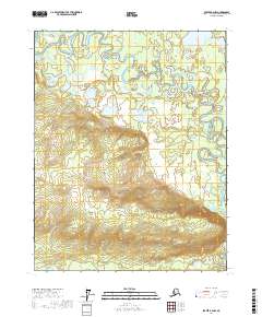
2017 · Beaver B-2 NW
USGS Topo · 1:25,000
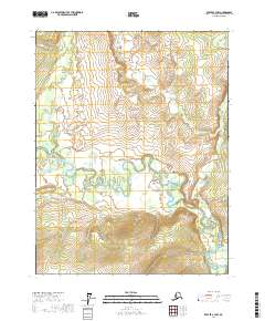
2017 · Beaver C-3 NW
USGS Topo · 1:25,000