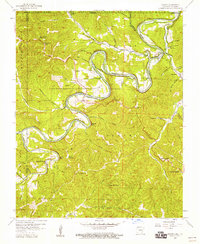
1957 Map of Beaver
USGS Topo · Published 1959About this map
The White River carves a winding path through Carroll County, shaping a landscape defined by dramatic bluffs and secluded hollows in the late 1950s. Near the settlement of Beaver, the river is flanked by Salts Bluff and Poker Bluff, while further south the terrain rises toward Inspiration Point and Rolloff Mountain. This period shows the rural community structure before modern development, anchored by small settlements like Busch and Elk Ranch, and numerous country churches such as Grassy Knob Ch and Baptist Ch.
Find a feature on this map
62 named features on this map. Tap any name to fly to it.
Don’t see what you’re looking for? This feature index may not catch every label — zoom into the map to look around manually.
Map Details
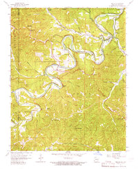
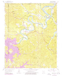
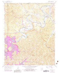
Editions of this 1957 Beaver Map
4 editions found
Other maps of this area

1900 · Eureka Springs
USGS Topo · 1:125,000

1901 · Eureka Springs
USGS Topo · 1:125,000

1927 · Shell Knob
USGS Topo · 1:62,500

1937 · Cassville
USGS Topo · 1:48,000

1944 · Cassville
USGS Topo · 1:62,500

1945 · Harrison
USGS Topo · 1:250,000

1949 · Harrison
USGS Topo · 1:250,000

1950 · Shell Knob
USGS Topo · 1:62,500

1954 · Harrison
USGS Topo · 1:250,000

1957 · Mundell
USGS Topo · 1:24,000