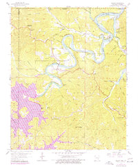
1957 Map of Beaver
USGS Topo · Published 1977About this map
The White River valley undergoes a significant transformation on this map, documenting the landscape before and after the creation of Beaver Lake. The 1957 topography reveals the original river course winding through deep bluffs and hollows, while purple 1976 revisions illustrate the vast inundation following the construction of the Beaver Powerplant Dam. This dual-era perspective captures the impact of major water management on local settlements like Beaver and Busch, showing how the rising waters reshaped the terrain.
Find a feature on this map
60 named features on this map. Tap any name to fly to it.
Don’t see what you’re looking for? This feature index may not catch every label — zoom into the map to look around manually.
Map Details
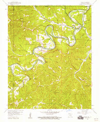
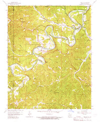
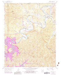
Editions of this 1957 Beaver Map
4 editions found
Other maps of this area

1900 · Eureka Springs
USGS Topo · 1:125,000

1901 · Eureka Springs
USGS Topo · 1:125,000

1927 · Shell Knob
USGS Topo · 1:62,500

1937 · Cassville
USGS Topo · 1:48,000

1944 · Cassville
USGS Topo · 1:62,500

1945 · Harrison
USGS Topo · 1:250,000

1949 · Harrison
USGS Topo · 1:250,000

1950 · Shell Knob
USGS Topo · 1:62,500

1954 · Harrison
USGS Topo · 1:250,000

1957 · Mundell
USGS Topo · 1:24,000