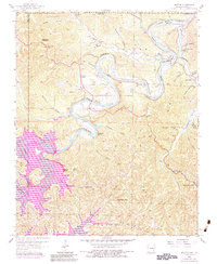
1957 Map of Beaver
USGS Topo · Published 1984About this map
White River flows through the heart of this landscape, marking a period of significant hydrological change as the valley transitioned between the Beaver Lake and Table Rock Lake reservoir systems. The massive Beaver Dam and its associated powerplant stand as the primary engineering landmarks, fundamentally altering the geography of Benton and Carroll Counties. Evidence of earlier rural life persists in the numerous mountain churches and burial grounds, such as Grassy Knob Ch and Walden Cem, which dot the ridges and hollows. The settlement of Beaver remains a focal point near Poker Bluff, while the northwestern edge of Eureka Springs begins to appear in the southeast. High points like Sugarloaf Mountain and Inspiration Point provide vantage points over a terrain defined by deep drainage cuts like Butler Creek and Leatherwood Creek.
Find a feature on this map
60 named features on this map. Tap any name to fly to it.
Don’t see what you’re looking for? This feature index may not catch every label — zoom into the map to look around manually.
Map Details
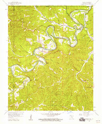
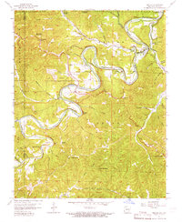
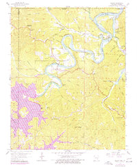
Editions of this 1957 Beaver Map
4 editions found
Other maps of this area

1900 · Eureka Springs
USGS Topo · 1:125,000

1901 · Eureka Springs
USGS Topo · 1:125,000

1927 · Shell Knob
USGS Topo · 1:62,500

1937 · Cassville
USGS Topo · 1:48,000

1944 · Cassville
USGS Topo · 1:62,500

1945 · Harrison
USGS Topo · 1:250,000

1949 · Harrison
USGS Topo · 1:250,000

1950 · Shell Knob
USGS Topo · 1:62,500

1954 · Harrison
USGS Topo · 1:250,000

1957 · Mundell
USGS Topo · 1:24,000