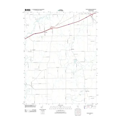
2012 Map of Beaver Creek
USGS Topo · Published 2012About this map
Stubblefield and Dudleyville anchor this Bond County landscape, where agricultural operations and modern energy infrastructure meet. The map reveals a land defined by its working farms, including Shoal Creek Farm, Marcoot Jersey Farm, and Rolling Lawns Farms, alongside the industrial presence of the Stubblefield Gas Storage Field. This 2012 survey illustrates how the interstate system and aviation at Greenville Airport intersect with older rural patterns.
Find a feature on this map
68 named features on this map. Tap any name to fly to it.
Don’t see what you’re looking for? This feature index may not catch every label — zoom into the map to look around manually.
Map Details
Editions of this 2012 Beaver Creek Map
This is the sole edition of this map. No revisions or reprints were ever made.
Other maps of this area

1906 · Breese
USGS Topo · 1:62,500

1907 · Breese
USGS Topo · 1:62,500

1910 · Carlyle
USGS Topo · 1:62,500

1932 · Greenville
USGS Topo · 1:62,500

1937 · New Douglas
USGS Topo · 1:48,000

1939 · Greenville
USGS Topo · 1:62,500

1943 · Greenville
USGS Topo · 1:62,500

1944 · New Douglas
USGS Topo · 1:62,500

1948 · Carlyle
USGS Topo · 1:62,500

1958 · Belleville
USGS Topo · 1:250,000