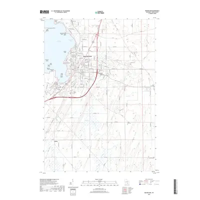
2018 Map of Beaver Dam
USGS Topo · Published 2018About this map
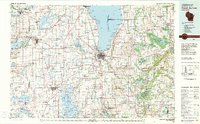
The city of Beaver Dam serves as the industrial and social heart of this 2018 survey, positioned along the eastern shoreline of Beaver Dam Lake. The landscape is a study in transition between the concentrated urban grid and the surrounding agrarian Dodge County countryside. A significant cluster of historical interment sites, including Saint Michaels Cem, Saint Marys Cem, and Saint Peter's Cem, reflects the area's deep-rooted community foundations.
Find a feature on this map
140 named features on this map. Tap any name to fly to it.
Don’t see what you’re looking for? This feature index may not catch every label — zoom into the map to look around manually.
Map Details
Editions of this 2018 Beaver Dam Map
This is the sole edition of this map. No revisions or reprints were ever made.
Other maps of this area
1955 · Beaver Dam
USGS Topo · 1:62,500
1955 · Waupun
USGS Topo · 1:62,500
1955 · Fox Lake
USGS Topo · 1:62,500
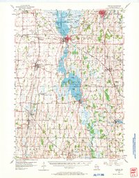
1955 · Horicon
USGS Topo · 1:62,500

1957 · Madison
USGS Topo · 1:250,000

1960 · Madison
USGS Topo · 1:250,000
1975 · Horicon NW
USGS Topo · 1:24,000
1975 · Beaver Dam NE
USGS Topo · 1:24,000
1975 · Waupun SW
USGS Topo · 1:24,000
1980 · Fond Du Lac
USGS Topo · 1:100,000