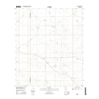
2015 Map of Beaver
USGS Topo · Published 2015About this map
Beaver sits at the heart of this landscape where the Allen Parish and Evangeline Parish boundaries meet. The settlement is defined by a dense network of local roads that weave through a low-lying terrain of water and marshland. The hydrology of the area is particularly prominent, featuring Cypress Creek, Beaver Cr, and the extensive Bayou Marsh. These water bodies are fed by smaller tributaries like Morris Br and Caney Cr, while Leger Lake provides a central landmark within the marshy interior.
Find a feature on this map
45 named features on this map. Tap any name to fly to it.
Don’t see what you’re looking for? This feature index may not catch every label — zoom into the map to look around manually.
Map Details
Editions of this 2015 Beaver Map
This is the sole edition of this map. No revisions or reprints were ever made.
Other maps of this area

1935 · Beaver
USGS Topo · 1:31,680

1935 · Pawnee
USGS Topo · 1:31,680

1935 · Oakdale
USGS Topo · 1:31,680

1935 · Turkey Creek
USGS Topo · 1:62,500

1942 · Oakdale
USGS Topo · 1:62,500

1947 · Foley
USGS Topo · 1:31,680

1947 · Bond
USGS Topo · 1:31,680

1949 · Glenmora
USGS Topo · 1:31,680

1949 · Turkey Creek
USGS Topo · 1:62,500
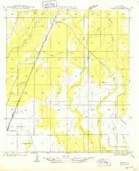
1950 · Foley
USGS Topo · 1:31,680