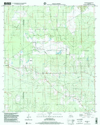
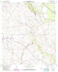
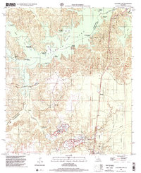
1998 Map of Beaver
USGS Topo · Published 2002This historical map portrays the area of Beaver in 1998, primarily covering Evangeline Parish as well as portions of Allen Parish. Featuring a scale of 1:24000, this map provides a highly detailed snapshot of the terrain, roads, buildings, counties, and historical landmarks in the Beaver region at the time. Published in 2002, it is one of 2 known editions of this map due to revisions or reprints.
Find a feature on this map
18 named features on this map. Tap any name to fly to it.
Don’t see what you’re looking for? This feature index may not catch every label — zoom into the map to look around manually.
Map Details
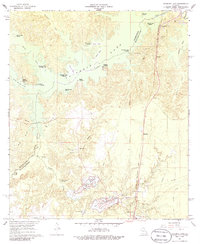
Editions of this 1998 Beaver Map
2 editions found
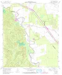
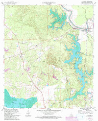
Historical Maps of Oakdale Through Time
16 maps found

1935 Beaver
Evangeline Parish, LA

1947 Bond
Evangeline Parish, LA

1947 Fruge Lake
Evangeline Parish, LA

1947 Redland
Evangeline Parish, LA

1954 Beaver
Evangeline Parish, LA

1954 Fruge Lake
Evangeline Parish, LA
1967 Cocodrie Lake
Evangeline Parish, LA
1967 Lone Pine
Evangeline Parish, LA
1967 St. Landry
Evangeline Parish, LA

1968 Beaver
Evangeline Parish, LA

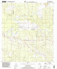
1983 Eunice North
Evangeline Parish, LA
1983 Tate Cove
Evangeline Parish, LA
1986 Bond
Evangeline Parish, LA
1986 Duralde
Evangeline Parish, LA
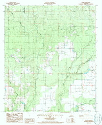
1998 Beaver
Evangeline Parish, LA
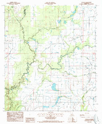
1998 Cocodrie Lake
Evangeline Parish, LA