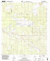
1998 Map of Beaver
USGS Topo · Published 2002About this map
The Allen Parish and Evangeline Parish boundary bisects this landscape of low-lying wetlands and managed forest as it appeared in the late 1990s. The small settlement of Beaver serves as the focal point, characterized by its Beaver Lookout Tower and nearby Beaver Cem. To the northwest, the edge of Oakdale marks the transition from more developed areas into the extensive conservation lands of the State Wildlife Mgmt Area and Mbswma.
Find a feature on this map
20 named features on this map. Tap any name to fly to it.
Don’t see what you’re looking for? This feature index may not catch every label — zoom into the map to look around manually.
Map Details
Editions of this 1998 Beaver Map
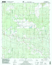
2 editions found
Other maps of this area

1935 · Beaver
USGS Topo · 1:31,680

1935 · Pawnee
USGS Topo · 1:31,680

1935 · Oakdale
USGS Topo · 1:31,680

1935 · Turkey Creek
USGS Topo · 1:62,500

1942 · Oakdale
USGS Topo · 1:62,500

1947 · Foley
USGS Topo · 1:31,680

1947 · Bond
USGS Topo · 1:31,680

1949 · Glenmora
USGS Topo · 1:31,680

1949 · Turkey Creek
USGS Topo · 1:62,500
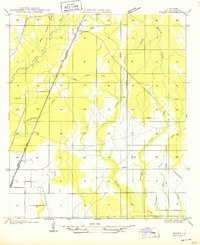
1950 · Foley
USGS Topo · 1:31,680