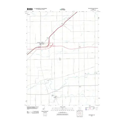
2010 Map of Beaverdam
USGS Topo · Published 2010About this map
Beaverdam and Lafayette anchor this Allen County landscape, where the agricultural grid is etched with historical burial grounds and winding waterways. The village of Beaverdam serves as a central hub, historically linked to the Beaver Dam Station and supported by its own Beaverdam Post Office. This area is particularly dense with pioneer and family cemeteries, including Woodlawn Cemetery, Gratz Cemetery, and Liberty Chapel Cemetery, which provide vital touchpoints for genealogical research.
Find a feature on this map
65 named features on this map. Tap any name to fly to it.
Don’t see what you’re looking for? This feature index may not catch every label — zoom into the map to look around manually.
Map Details
Editions of this 2010 Beaverdam Map
This is the sole edition of this map. No revisions or reprints were ever made.
Other maps of this area

1906 · Lima
USGS Topo · 1:62,500

1906 · Columbus Grove
USGS Topo · 1:62,500

1907 · Bluffton
USGS Topo · 1:62,500

1908 · Columbus Grove
USGS Topo · 1:62,500

1913 · Alger
USGS Topo · 1:48,000

1915 · Alger
USGS Topo · 1:62,500

1943 · Alger
USGS Topo · 1:62,500

1950 · Marion
USGS Topo · 1:250,000

1953 · Muncie
USGS Topo · 1:250,000

1956 · Muncie
USGS Topo · 1:250,000