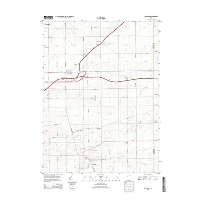
2013 Map of Beaverdam
USGS Topo · Published 2013About this map
The village of Beaverdam serves as a central hub in this modern survey of northwest Ohio, where the historic Lincoln Highway and Us-30 intersect near the headwaters of Sugar Creek. The landscape is defined by its agrarian grid, with family and community legacy preserved in numerous burial grounds such as Woodlawn Cemetery and Gratz Cemetery. To the south, the settlement of Lafayette sits near the banks of Hog Creek and Little Hog Creek, illustrating the long-standing relationship between local hamlets and the drainage basins of the Ottawa River watershed. The map details a transition from the historic village cores to modern infrastructure, all while maintaining the footprints of early pioneers at sites like Liberty Chapel Cemetery and West Point Cemetery.
Find a feature on this map
114 named features on this map. Tap any name to fly to it.
Don’t see what you’re looking for? This feature index may not catch every label — zoom into the map to look around manually.
Map Details
Editions of this 2013 Beaverdam Map
This is the sole edition of this map. No revisions or reprints were ever made.
Other maps of this area

1906 · Lima
USGS Topo · 1:62,500

1906 · Columbus Grove
USGS Topo · 1:62,500

1907 · Bluffton
USGS Topo · 1:62,500

1908 · Columbus Grove
USGS Topo · 1:62,500

1913 · Alger
USGS Topo · 1:48,000

1915 · Alger
USGS Topo · 1:62,500

1943 · Alger
USGS Topo · 1:62,500

1950 · Marion
USGS Topo · 1:250,000

1953 · Muncie
USGS Topo · 1:250,000

1956 · Muncie
USGS Topo · 1:250,000