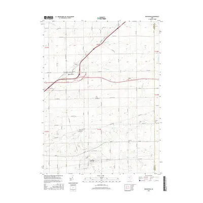
2016 Map of Beaverdam
USGS Topo · Published 2016About this map
The village of Beaverdam sits at a historic transportation crossroads in Allen County, where the Dixie Hwy and the Lincoln Hwy intersect. This area of northwest Ohio is defined by its deep agricultural roots and a dense network of country cemeteries, including Woodlawn Cem and Beaverdam Cem, which serve as vital markers for local genealogical research. To the south, the settlement of Lafayette is positioned near the headwaters of Little Hog Cr.
Find a feature on this map
114 named features on this map. Tap any name to fly to it.
Don’t see what you’re looking for? This feature index may not catch every label — zoom into the map to look around manually.
Map Details
Editions of this 2016 Beaverdam Map
This is the sole edition of this map. No revisions or reprints were ever made.
Other maps of this area

1906 · Lima
USGS Topo · 1:62,500

1906 · Columbus Grove
USGS Topo · 1:62,500

1907 · Bluffton
USGS Topo · 1:62,500

1908 · Columbus Grove
USGS Topo · 1:62,500

1913 · Alger
USGS Topo · 1:48,000

1915 · Alger
USGS Topo · 1:62,500

1943 · Alger
USGS Topo · 1:62,500

1950 · Marion
USGS Topo · 1:250,000

1953 · Muncie
USGS Topo · 1:250,000

1956 · Muncie
USGS Topo · 1:250,000