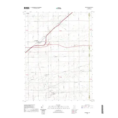
2019 Map of Beaverdam
USGS Topo · Published 2019About this map
The village of Beaverdam and the nearby Beaver Dam Station sit at a vital transportation juncture in northeastern Allen County, where the historic Dixie Hwy and Lincoln Hwy intersect. The surrounding agricultural landscape is meticulously partitioned by a grid of rural roads such as Napoleon Rd and Lafayette Rd, connecting the smaller settlements of Lafayette and Rockport.
Find a feature on this map
77 named features on this map. Tap any name to fly to it.
Don’t see what you’re looking for? This feature index may not catch every label — zoom into the map to look around manually.
Map Details
Editions of this 2019 Beaverdam Map
This is the sole edition of this map. No revisions or reprints were ever made.
Other maps of this area

1906 · Lima
USGS Topo · 1:62,500

1906 · Columbus Grove
USGS Topo · 1:62,500

1907 · Bluffton
USGS Topo · 1:62,500

1908 · Columbus Grove
USGS Topo · 1:62,500

1913 · Alger
USGS Topo · 1:48,000

1915 · Alger
USGS Topo · 1:62,500

1943 · Alger
USGS Topo · 1:62,500

1950 · Marion
USGS Topo · 1:250,000

1953 · Muncie
USGS Topo · 1:250,000

1956 · Muncie
USGS Topo · 1:250,000