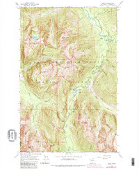
1966 Map of Bedal
USGS Topo · Published 1983About this map
The confluence of the North Fork Stillaguamish River and the Sauk River anchors this mid-century survey of the Cascade Mountains, capturing a landscape defined by forest management and recreation within the Mount Baker-Snoqualmie National Forest. The settlement at Bedal serves as a central hub, surrounded by a network of seasonal camps and administrative sites including the North Fork Guard Sta and Bedal Campground. High-elevation landmarks such as Stillaguamish Peak and Dickerman Mtn overlook a terrain marked by early industrial footprints, notably seen in the Sunrise Mine Trail and Mill Camp. The Mountain Loop Highway provides the primary artery through the valley, connecting remote outposts like Barlow Pass to the surrounding alpine basins. This 1966 fieldwork, updated with 1979 aerial revisions, documents the established trail systems and lake chains, including Monte Cristo Lake and Myrtle Lake, before later wilderness designations further altered local access.
Find a feature on this map
49 named features on this map. Tap any name to fly to it.
Don’t see what you’re looking for? This feature index may not catch every label — zoom into the map to look around manually.
Map Details
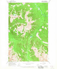
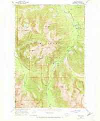
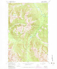
Editions of this 1966 Bedal Map
4 editions found
Other maps of this area

1899 · Glacier Peak
USGS Topo · 1:125,000

1899 · Stillaguamish
USGS Topo · 1:125,000

1901 · Glacier Peak
USGS Topo · 1:125,000

1901 · Stilaguamish
USGS Topo · 1:125,000

1902 · Skykomish
USGS Topo · 1:125,000

1905 · Skykomish
USGS Topo · 1:125,000

1921 · Sultan
USGS Topo · 1:125,000

1923 · Sultan
USGS Topo · 1:125,000

1955 · Concrete
USGS Topo · 1:250,000

1957 · Silverton
USGS Topo · 1:62,500