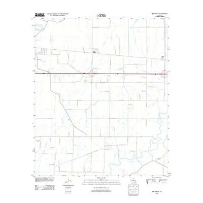
2012 Map of Bee Bayou
USGS Topo · Published 2012About this map
The low-lying wetlands of Richland Parish define this landscape, where water moves slowly through a dense network of bayous and creeks. Bee Bayou and Holly Ridge serve as the primary residential nodes, connected by a grid of rural roads and large-scale agricultural tracts. The terrain is marked by significant industrial activity in the energy sector, notably the Big Creek Gas Field and the Dehlco Oil Field, which speak to the subsurface resources driving the local economy.
Find a feature on this map
92 named features on this map. Tap any name to fly to it.
Don’t see what you’re looking for? This feature index may not catch every label — zoom into the map to look around manually.
Map Details
Editions of this 2012 Bee Bayou Map
This is the sole edition of this map. No revisions or reprints were ever made.
Other maps of this area

1935 · Collinston
USGS Topo · 1:62,500

1935 · Alto
USGS Topo · 1:62,500

1935 · Baskinton
USGS Topo · 1:62,500

1935 · Hurricane
USGS Topo · 1:62,500

1955 · Jackson
USGS Topo · 1:250,000

1957 · Mangham
USGS Topo · 1:62,500

1957 · Collinston
USGS Topo · 1:62,500

1958 · Baskinton
USGS Topo · 1:62,500

1958 · Hurricane
USGS Topo · 1:62,500

1961 · Jackson
USGS Topo · 1:250,000