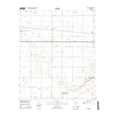
2015 Map of Bee Bayou
USGS Topo · Published 2015About this map
The settlement of Bee Bayou and the eastern edge of Rayville anchor this landscape in northeastern Louisiana, where the agricultural plains are defined by a complex network of meandering waterways. The map illustrates how local transportation, including the Branch Crossing Rd and La-3048, follows the natural contours of the land between Burns Bayou and Cow Bayou. The transition from Richland Parish into Franklin Parish is marked by the winding course of Big Creek at the southern edge of the survey. Significant for local historians and genealogists, the map identifies family-named infrastructure and burial sites such as Greer Cem and Sunflower Cem, alongside larger drainage systems like Cypress Creek and Hurricane Bayou that historically dictated the placement of farms and homesteads in the region.
Find a feature on this map
86 named features on this map. Tap any name to fly to it.
Don’t see what you’re looking for? This feature index may not catch every label — zoom into the map to look around manually.
Map Details
Editions of this 2015 Bee Bayou Map
This is the sole edition of this map. No revisions or reprints were ever made.
Other maps of this area

1935 · Collinston
USGS Topo · 1:62,500

1935 · Alto
USGS Topo · 1:62,500

1935 · Baskinton
USGS Topo · 1:62,500

1935 · Hurricane
USGS Topo · 1:62,500

1955 · Jackson
USGS Topo · 1:250,000

1957 · Mangham
USGS Topo · 1:62,500

1957 · Collinston
USGS Topo · 1:62,500

1958 · Baskinton
USGS Topo · 1:62,500

1958 · Hurricane
USGS Topo · 1:62,500

1961 · Jackson
USGS Topo · 1:250,000