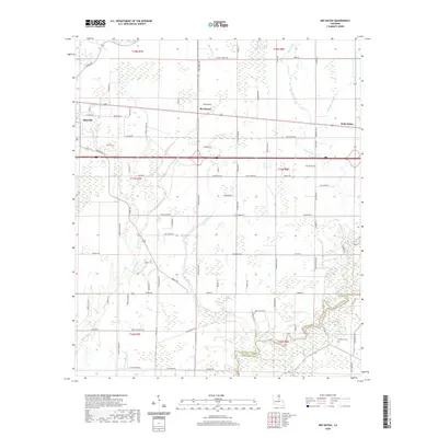
2020 Map of Bee Bayou
USGS Topo · Published 2020About this map
The agricultural wetlands of Richland Parish and Franklin Parish are defined by an intricate network of waterways and drainage, including Bee Bayou, Cow Bayou, and Hurricane Bayou. This landscape shows a transition from the denser settlement of Rayville in the west to the smaller community of Holly Ridge in the east, both positioned along the primary transport corridor. The interior is a grid of rural routes like Jordan Rd and Harper Rd that navigate between cultivated fields and wooded bayou banks. Local history and genealogy are anchored by small burial grounds such as Greer Cem and Sunflower Cem, which sit alongside names like Big Creek and Cypress Creek. The topography reflects the low-lying character of northeastern Louisiana, where many roads and farmsteads are positioned specifically to avoid the meandering paths of the region's numerous creek forks.
Find a feature on this map
90 named features on this map. Tap any name to fly to it.
Don’t see what you’re looking for? This feature index may not catch every label — zoom into the map to look around manually.
Map Details
Editions of this 2020 Bee Bayou Map
This is the sole edition of this map. No revisions or reprints were ever made.
Other maps of this area

1935 · Collinston
USGS Topo · 1:62,500

1935 · Alto
USGS Topo · 1:62,500

1935 · Baskinton
USGS Topo · 1:62,500

1935 · Hurricane
USGS Topo · 1:62,500

1955 · Jackson
USGS Topo · 1:250,000

1957 · Mangham
USGS Topo · 1:62,500

1957 · Collinston
USGS Topo · 1:62,500

1958 · Baskinton
USGS Topo · 1:62,500

1958 · Hurricane
USGS Topo · 1:62,500

1961 · Jackson
USGS Topo · 1:250,000