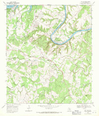
1968 Map of Bee Cave
USGS Topo · Published 1971About this map
Barton Creek and its many winding tributaries like Little Barton Creek and Short Branch dominate this 1968 landscape in western Travis County. The terrain is marked by numerous family-named landmarks and local burial grounds, including the Bee Cave Cem and White Rock Cem, reflecting the area's early settlement history. The Colorado River meanders through the northeast, with Lake Austin and Lake Travis providing a sharp contrast between the rising hill country and the water's edge.
Find a feature on this map
56 named features on this map. Tap any name to fly to it.
Don’t see what you’re looking for? This feature index may not catch every label — zoom into the map to look around manually.
Map Details
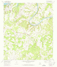
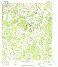
Editions of this 1968 Bee Cave Map
3 editions found
Other maps of this area

1887 · Blanco
USGS Topo · 1:125,000

1894 · Blanco
USGS Topo · 1:125,000

1896 · Austin
USGS Topo · 1:125,000

1897 · Austin
USGS Topo · 1:125,000

1910 · Austin
USGS Topo · 1:125,000

1930 · Austin-2
USGS Topo · 1:48,000

1930 · Blanco-1
USGS Topo · 1:48,000

1932 · Mt. Bonnell
USGS Topo · 1:62,500

1954 · Austin West
USGS Topo · 1:24,000

1954 · Llano
USGS Topo · 1:250,000