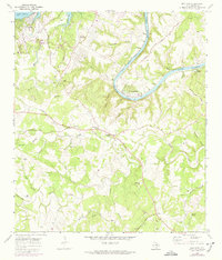
1968 Map of Bee Cave
USGS Topo · Published 1974About this map
Lake Travis and Lake Austin anchor this landscape of the Texas Hill Country during a period of transition in the late 1960s and early 1970s. The map captures the emerging development at Lakeway, complete with a Landing Strip, Golf Course, and early street layouts, contrasted against the traditional rural character of the Trading Post and the Shield Ranch. The terrain is deeply incised by drainages like Little Barton Creek and Honey Creek, which carved numerous named hollows such as Harrison Hollow and Bohls Hollow. For those tracing local families, the map preserves the locations of several burial grounds, including Bee Cave Cem, White Rock Cem, and Darter Cem. A portion of the Austin Corporate Boundary appears near the bend of the Colorado River, marking the point where the capital city's reach began to meet the limestone hills and cedar-filled canyons of Bee Cave.
Find a feature on this map
55 named features on this map. Tap any name to fly to it.
Don’t see what you’re looking for? This feature index may not catch every label — zoom into the map to look around manually.
Map Details
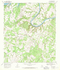
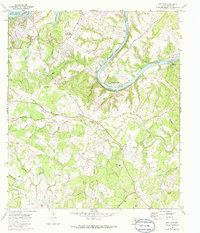
Editions of this 1968 Bee Cave Map
3 editions found
Other maps of this area

1887 · Blanco
USGS Topo · 1:125,000

1894 · Blanco
USGS Topo · 1:125,000

1896 · Austin
USGS Topo · 1:125,000

1897 · Austin
USGS Topo · 1:125,000

1910 · Austin
USGS Topo · 1:125,000

1930 · Austin-2
USGS Topo · 1:48,000

1930 · Blanco-1
USGS Topo · 1:48,000

1932 · Mt. Bonnell
USGS Topo · 1:62,500

1954 · Austin West
USGS Topo · 1:24,000

1954 · Llano
USGS Topo · 1:250,000