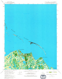
1970 Map of Beechey Point B-3 NW
USGS Topo · Published 1974About this map
Gwydyr Bay and the narrow barrier chains of the Return Islands dominate this coastal survey of Alaska's North Slope, taken just as the region's industrial infrastructure was emerging. This orthophotomap combines aerial photography with topographic data to show a transitional landscape where the Beaufort Sea meets the marshy delta. Coastal outposts like Kup Delta Camp and Point Storkersen Camp sit alongside newer developments including the Point Mcintyre Landing Strip and a Pumping Station.
Find a feature on this map
20 named features on this map. Tap any name to fly to it.
Don’t see what you’re looking for? This feature index may not catch every label — zoom into the map to look around manually.
Map Details
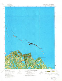
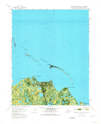
Editions of this 1970 Beechey Point B-3 NW Map
3 editions found
Other maps of this area

1951 · Beechey Point
USGS Topo · 1:250,000

1955 · Beechey Point
USGS Topo · 1:250,000
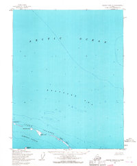
1955 · Beechey Point C-4
USGS Topo · 1:63,360

1955 · Beechey Point B-4
USGS Topo · 1:63,360

1955 · Beechey Point B-3
USGS Topo · 1:63,360

1960 · Beechey Point
USGS Topo · 1:250,000

1962 · Beechey Point B-4
USGS Topo · 1:50,000
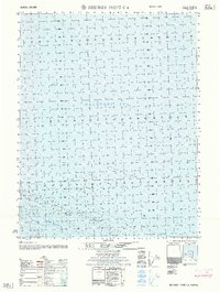
1962 · Beechey Point C-4
USGS Topo · 1:50,000

1964 · Beechey Point
USGS Topo · 1:250,000
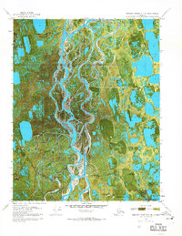
1970 · Beechey Point B-4 SE
USGS Topo · 1:24,000