
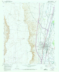
1952 Map of Belen
USGS Topo · Published 1953About this map
The Belen Grant and Nicolas Duran de Chavez Grant dominate this mid-century landscape, illustrating the enduring influence of historic land divisions on New Mexico's development. This 1952 survey centers on the city of Belen, where the Atchison Topeka and Santa Fe railroad serves as a primary industrial artery. The intricate network of irrigation and drainage, including the High Line Canal and the Gabaldon Drain, reveals the region's managed agricultural character along the Rio Grande valley. Beyond the urban core, small settlements like Los Chavez and Bacaville are mapped in detail alongside local landmarks such as the Drive-in Theater and the Terrace Grove Cem. To the west, the terrain transitions into more open range, marked by the Camino Del Llano and scattered windmills, contrasting with the dense infrastructure of the valley floor.
Find a feature on this map
40 named features on this map. Tap any name to fly to it.
Don’t see what you’re looking for? This feature index may not catch every label — zoom into the map to look around manually.
Map Details
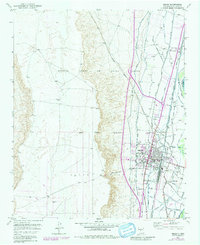
Editions of this 1952 Belen Map
3 editions found
Other maps of this area

1952 · Dalies
USGS Topo · 1:24,000

1952 · Belen SW
USGS Topo · 1:24,000

1952 · Turn
USGS Topo · 1:24,000

1952 · Veguita
USGS Topo · 1:24,000

1952 · Belen NW
USGS Topo · 1:24,000

1952 · Rio Puerco
USGS Topo · 1:24,000

1952 · Tome
USGS Topo · 1:24,000

1952 · Los Lunas
USGS Topo · 1:24,000

1954 · Socorro
USGS Topo · 1:250,000

1958 · Socorro
USGS Topo · 1:250,000