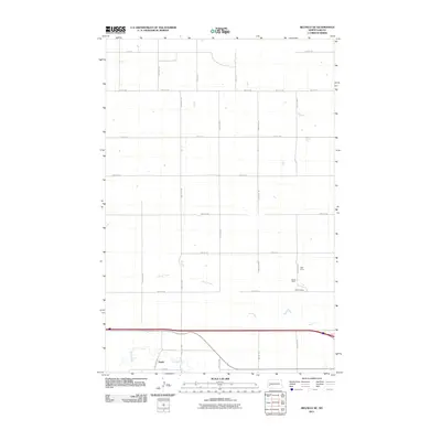
2011 Map of Belfield NE
USGS Topo · Published 2011About this map
Zenith anchors the southwestern corner of this landscape in Stark County, situated along the banks of the Heart River. This 2011 survey shows a rural environment defined by a rigid grid of section roads like 125th Ave SW and 35th St SW. The area's industrial history is marked by several specific mining sites in the eastern portion of the quadrangle, including the Ridl Mine, Karsky Mine, and Walters Mine. These small-scale operations sit near the meandering course of North Creek, which cuts across the central plains. The map reveals the relationship between water sources and early 21st-century settlement patterns, where scattered farmsteads follow the reliable paths of the river and creek beds through the prairie.
Find a feature on this map
24 named features on this map. Tap any name to fly to it.
Don’t see what you’re looking for? This feature index may not catch every label — zoom into the map to look around manually.
Map Details
Editions of this 2011 Belfield NE Map
This is the sole edition of this map. No revisions or reprints were ever made.
Other maps of this area

1953 · Dickinson
USGS Topo · 1:250,000

1953 · Watford City
USGS Topo · 1:250,000

1957 · Dickinson
USGS Topo · 1:250,000

1957 · Watford City
USGS Topo · 1:250,000

1962 · Belfield NE
USGS Topo · 1:24,000

1962 · Belfield SW
USGS Topo · 1:24,000

1962 · Belfield
USGS Topo · 1:24,000

1962 · Belfield SE
USGS Topo · 1:24,000

1963 · Fairfield SE
USGS Topo · 1:24,000

1963 · Rattlesnake Butte
USGS Topo · 1:24,000