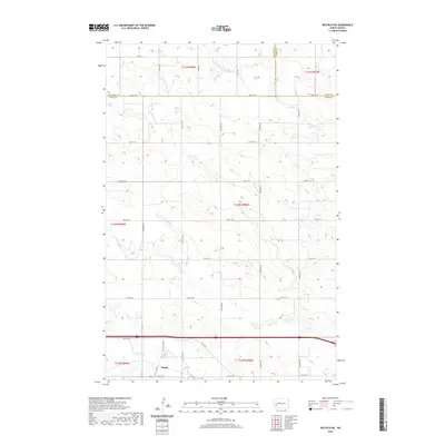
2020 Map of Belfield NE
USGS Topo · Published 2020About this map
Zenith anchors the southwestern corner of this Western North Dakota landscape, situated along the upper reaches of the Heart River. The terrain is defined by the high plains drainage patterns of the Heart River and the smaller N Cr, showing a transition from the rolling uplands of Billings County and Dunn County into the heart of Stark County. Transportation through the area is defined by the east-west corridor of Hwy 10 W, which runs parallel to the river valley. The map documents the persistent township and range grid that organizes this ranching and agricultural region, with numerous rural roads like 36th St SW and 123rd Ave providing access to the sections.
Find a feature on this map
31 named features on this map. Tap any name to fly to it.
Don’t see what you’re looking for? This feature index may not catch every label — zoom into the map to look around manually.
Map Details
Editions of this 2020 Belfield NE Map
This is the sole edition of this map. No revisions or reprints were ever made.
Other maps of this area

1953 · Dickinson
USGS Topo · 1:250,000

1953 · Watford City
USGS Topo · 1:250,000

1957 · Dickinson
USGS Topo · 1:250,000

1957 · Watford City
USGS Topo · 1:250,000

1962 · Belfield NE
USGS Topo · 1:24,000

1962 · Belfield SW
USGS Topo · 1:24,000

1962 · Belfield
USGS Topo · 1:24,000

1962 · Belfield SE
USGS Topo · 1:24,000

1963 · Fairfield SE
USGS Topo · 1:24,000

1963 · Rattlesnake Butte
USGS Topo · 1:24,000