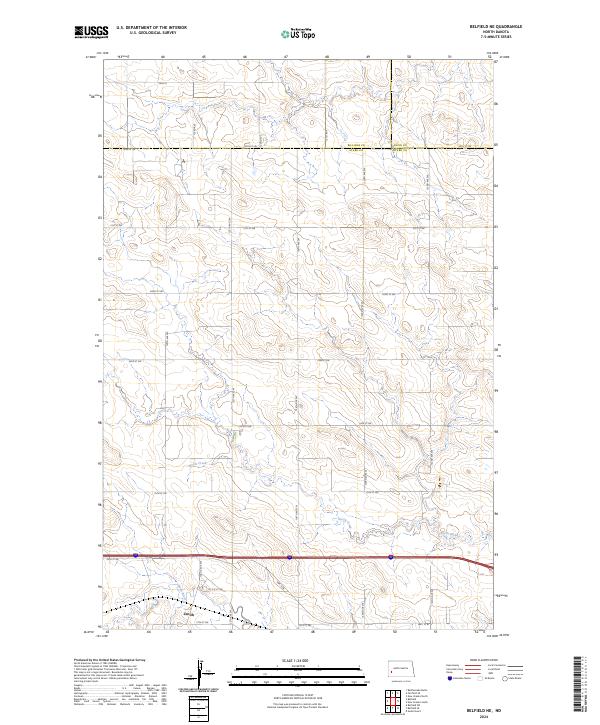
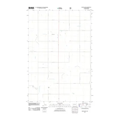
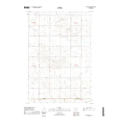
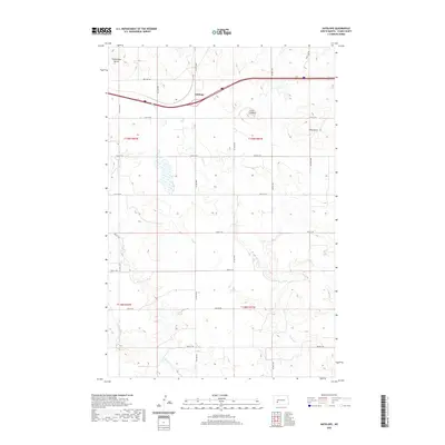
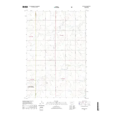
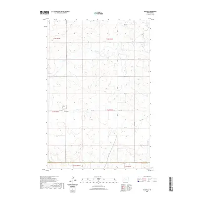
2024 Map of Belfield NE
USGS Topo · Published 2024About this map
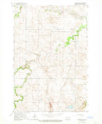
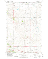
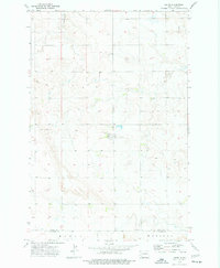
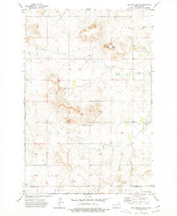
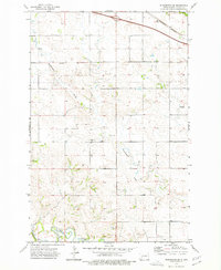
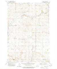
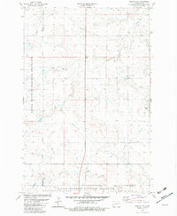
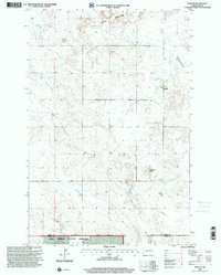
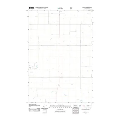
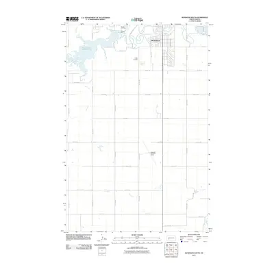
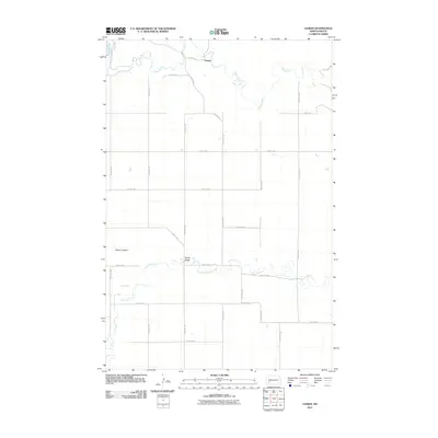
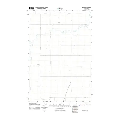
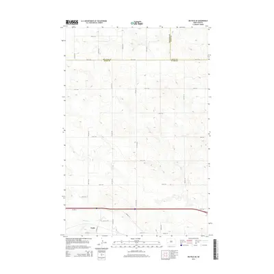
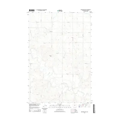
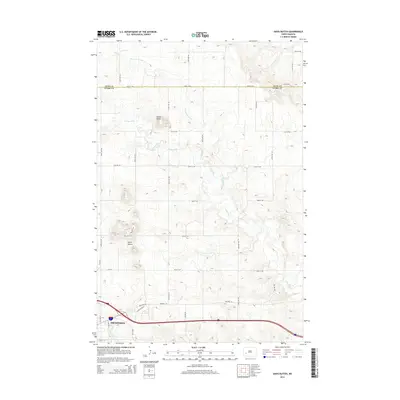
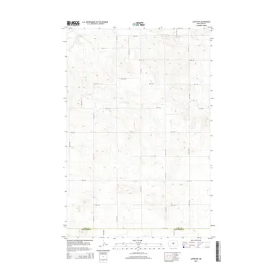
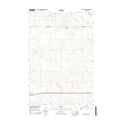
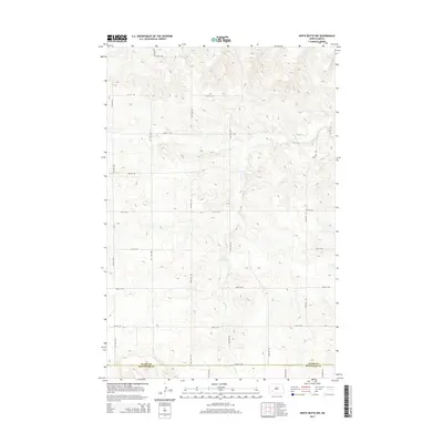
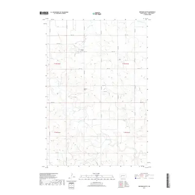
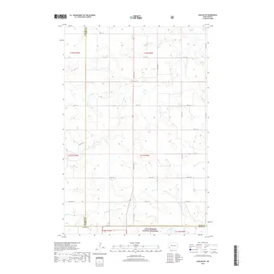
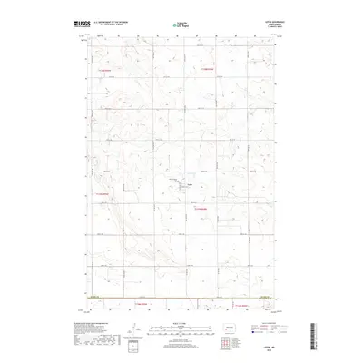
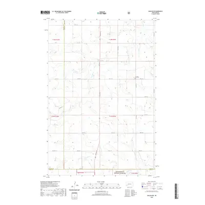
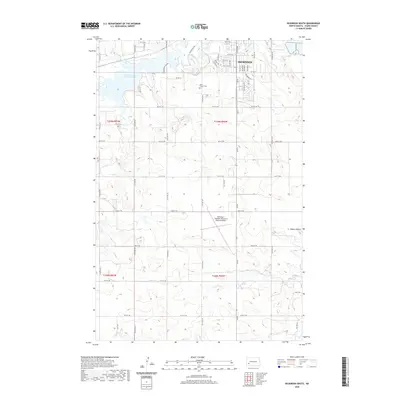
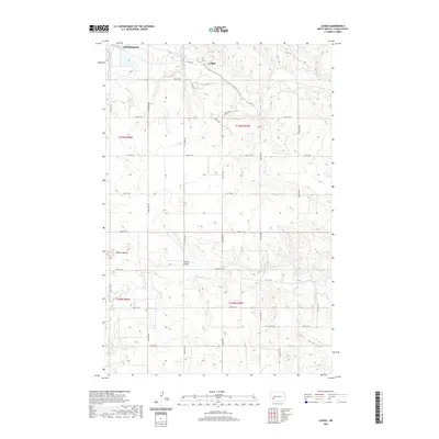
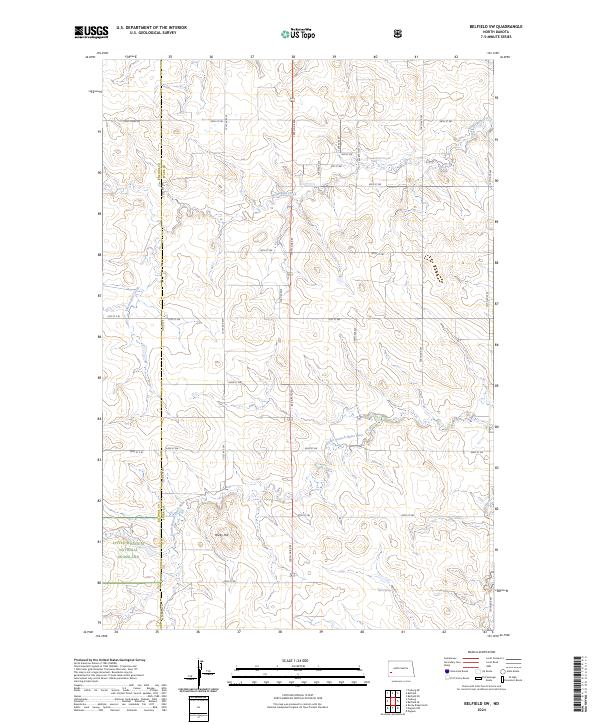
Zenith anchors the southwestern corner of this Western North Dakota landscape, situated along the valley of the Heart River. The terrain is defined by the winding course of North Creek, which meanders through the central and eastern sections of the quadrangle before approaching the river. This 2024 survey illustrates the precise section-line grid system characteristic of the Great Plains, where roads like 30th St SW and 124th Ave SW create a methodical network of transport across the prairie. The convergence of Hwy 10 W near the southern boundary highlights the enduring importance of this east-west corridor for regional travel. Spanning the borders of Billings, Dunn, and Stark Counties, the map documents the rural infrastructure of the region, from established township lines to the specific placement of residential and agricultural routes such as 125 1/2 St SW.
Find a feature on this map
31 named features on this map. Tap any name to fly to it.
Don’t see what you’re looking for? This feature index may not catch every label — zoom into the map to look around manually.
Map Details
Editions of this 2024 Belfield NE Map
This is the sole edition of this map. No revisions or reprints were ever made.
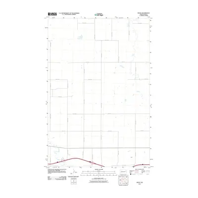
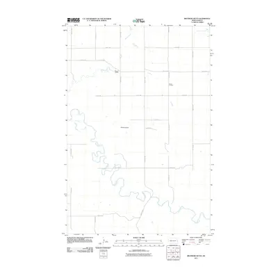
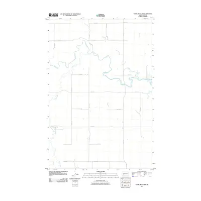
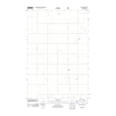
Historical Maps of Zenith Through Time
135 maps found
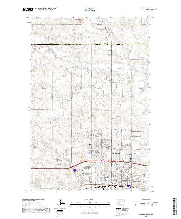
1959 Dickinson North
Stark County, ND
1959 Dickinson South
Stark County, ND
1959 Lehigh
Stark County, ND

1960 Clark Butte NW
Stark County, ND

1960 White Butte NE
Stark County, ND

1960 White Butte NW
Stark County, ND

1962 Belfield NE
Stark County, ND
1962 Belfield SE
Stark County, ND
1962 Belfield SW
Stark County, ND
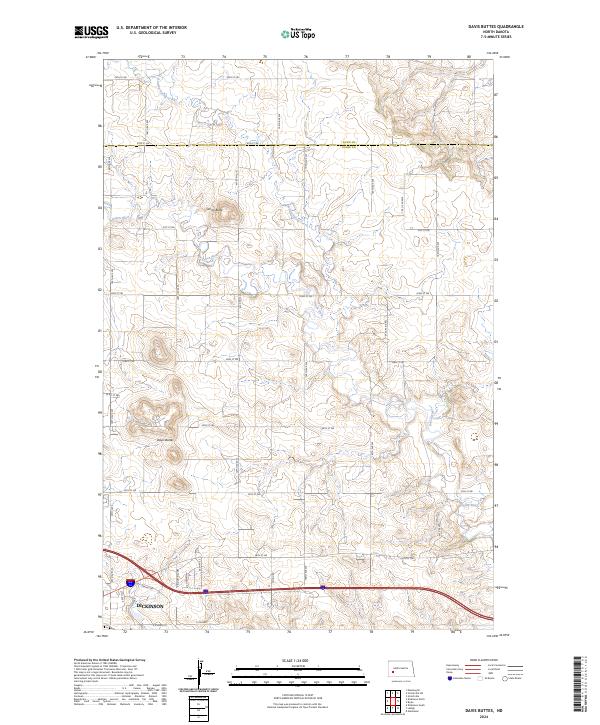
1962 Davis Buttes
Stark County, ND
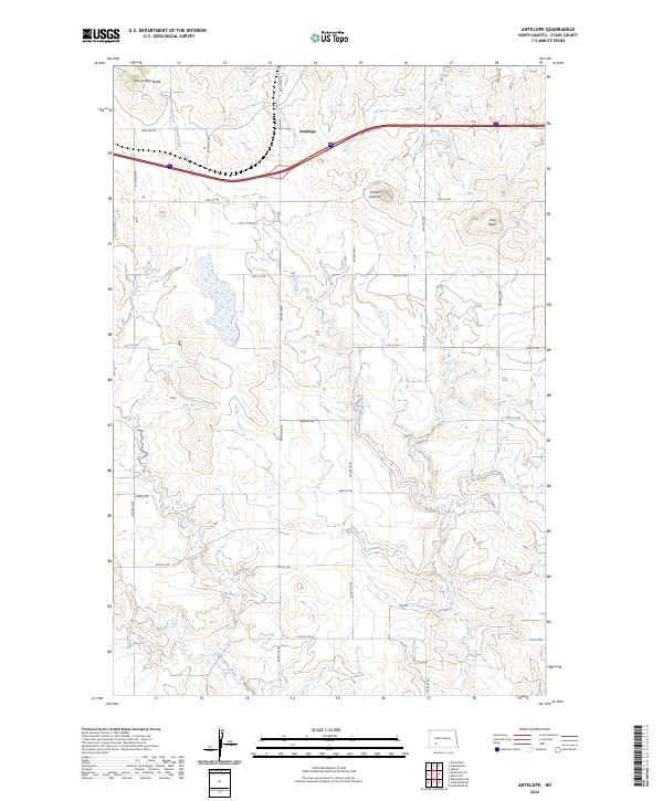
1973 Antelope
Stark County, ND
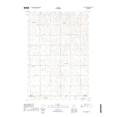
1973 Boyle
Stark County, ND
1973 Bratburg Butte
Stark County, ND
1973 Indian Butte
Stark County, ND
1973 Lefor NW
Stark County, ND
1973 Lefor
Stark County, ND
1973 New England NW
Stark County, ND

1973 New Hradec South
Stark County, ND
1973 Richardton SE
Stark County, ND
1973 Schefield
Stark County, ND
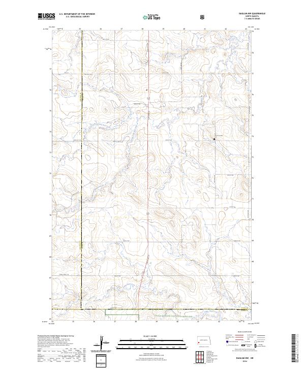
1982 Daglum NW
Stark County, ND
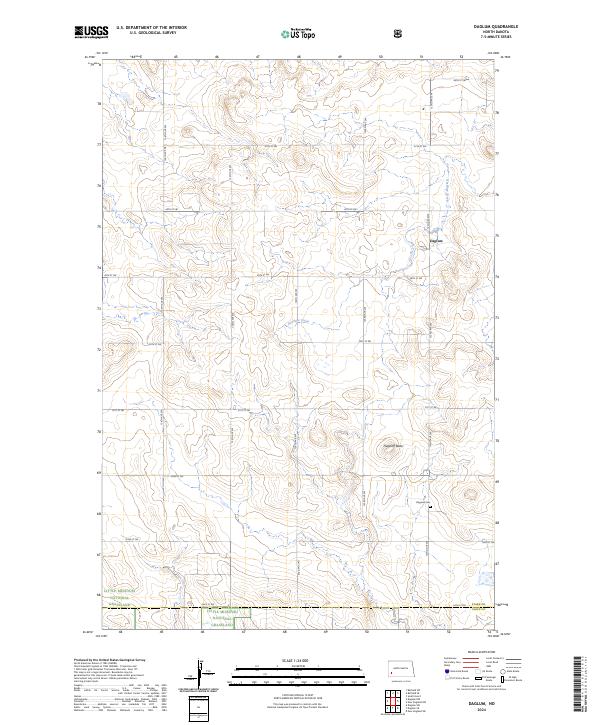
1982 Daglum
Stark County, ND
1997 Belfield SW
Stark County, ND
1997 Daglum NW
Stark County, ND
1997 Daglum
Stark County, ND
2011 Antelope
Stark County, ND
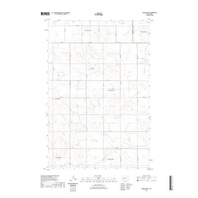
2011 Belfield NE
Stark County, ND
2011 Belfield SE
Stark County, ND
2011 Belfield SW
Stark County, ND
2011 Boyle
Stark County, ND
2011 Bratburg Butte
Stark County, ND
2011 Clark Butte NW
Stark County, ND
2011 Daglum NW
Stark County, ND
2011 Daglum
Stark County, ND
2011 Davis Buttes
Stark County, ND
2011 Dickinson North
Stark County, ND
2011 Dickinson South
Stark County, ND
2011 Indian Butte
Stark County, ND
2011 Lefor NW
Stark County, ND
2011 Lefor
Stark County, ND
2011 Lehigh
Stark County, ND
2011 New England NW
Stark County, ND
2011 New Hradec South
Stark County, ND
2011 Richardton SE
Stark County, ND
2011 Schefield
Stark County, ND
2011 White Butte NE
Stark County, ND
2011 White Butte NW
Stark County, ND
2014 Antelope
Stark County, ND
2014 Belfield NE
Stark County, ND
2014 Belfield SE
Stark County, ND
2014 Belfield SW
Stark County, ND
2014 Boyle
Stark County, ND
2014 Bratburg Butte
Stark County, ND
2014 Clark Butte NW
Stark County, ND
2014 Daglum NW
Stark County, ND
2014 Daglum
Stark County, ND
2014 Davis Buttes
Stark County, ND
2014 Dickinson North
Stark County, ND
2014 Dickinson South
Stark County, ND
2014 Indian Butte
Stark County, ND
2014 Lefor NW
Stark County, ND
2014 Lefor
Stark County, ND
2014 Lehigh
Stark County, ND
2014 New England NW
Stark County, ND
2014 New Hradec South
Stark County, ND
2014 Richardton SE
Stark County, ND
2014 Schefield
Stark County, ND
2014 White Butte NE
Stark County, ND
2014 White Butte NW
Stark County, ND

2017 Belfield NE
Stark County, ND
2017 Belfield SE
Stark County, ND
2017 Belfield SW
Stark County, ND
2017 Boyle
Stark County, ND
2017 Bratburg Butte
Stark County, ND
2017 Daglum
Stark County, ND
2017 Dickinson North
Stark County, ND
2017 Dickinson South
Stark County, ND
2017 New England NW
Stark County, ND
2017 Schefield
Stark County, ND
2017 White Butte NE
Stark County, ND
2018 Antelope
Stark County, ND

2018 Clark Butte NW
Stark County, ND
2018 Daglum NW
Stark County, ND
2018 Davis Buttes
Stark County, ND
2018 Indian Butte
Stark County, ND
2018 Lefor NW
Stark County, ND
2018 Lefor
Stark County, ND
2018 Lehigh
Stark County, ND
2018 New Hradec South
Stark County, ND
2018 Richardton SE
Stark County, ND
2018 White Butte NW
Stark County, ND
2020 Antelope
Stark County, ND
2020 Belfield NE
Stark County, ND
2020 Belfield SE
Stark County, ND
2020 Belfield SW
Stark County, ND
2020 Boyle
Stark County, ND
2020 Bratburg Butte
Stark County, ND
2020 Clark Butte NW
Stark County, ND
2020 Daglum NW
Stark County, ND
2020 Daglum
Stark County, ND
2020 Davis Buttes
Stark County, ND
2020 Dickinson North
Stark County, ND
2020 Dickinson South
Stark County, ND
2020 Indian Butte
Stark County, ND
2020 Lefor NW
Stark County, ND
2020 Lefor
Stark County, ND
2020 Lehigh
Stark County, ND
2020 New England NW
Stark County, ND
2020 New Hradec South
Stark County, ND
2020 Richardton SE
Stark County, ND
2020 Schefield
Stark County, ND
2020 White Butte NE
Stark County, ND
2020 White Butte NW
Stark County, ND
2024 Antelope
Stark County, ND
2024 Belfield NE
Stark County, ND

2024 Belfield SE
Stark County, ND
2024 Belfield SW
Stark County, ND
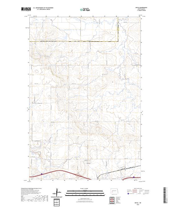
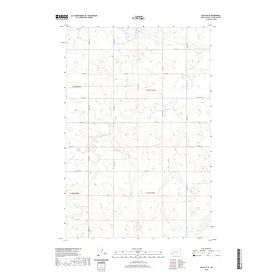
2024 Boyle
Stark County, ND
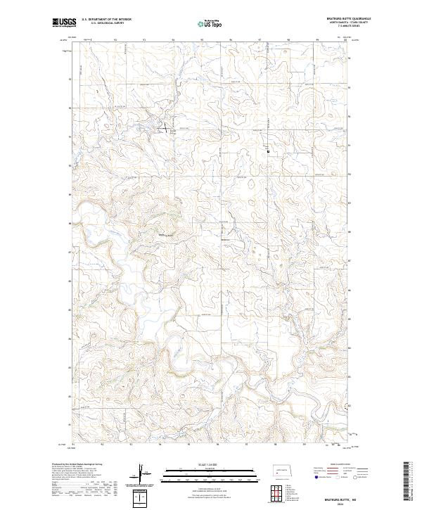
2024 Bratburg Butte
Stark County, ND
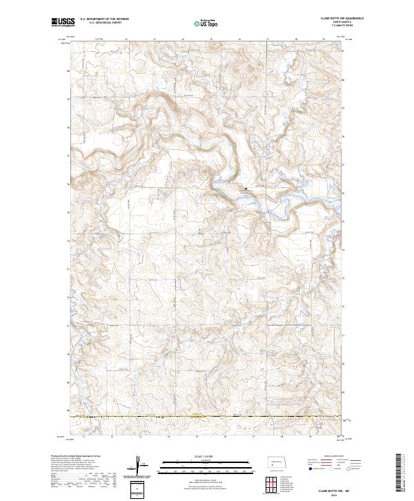
2024 Clark Butte NW
Stark County, ND
2024 Daglum NW
Stark County, ND
2024 Daglum
Stark County, ND
2024 Davis Buttes
Stark County, ND
2024 Dickinson North
Stark County, ND
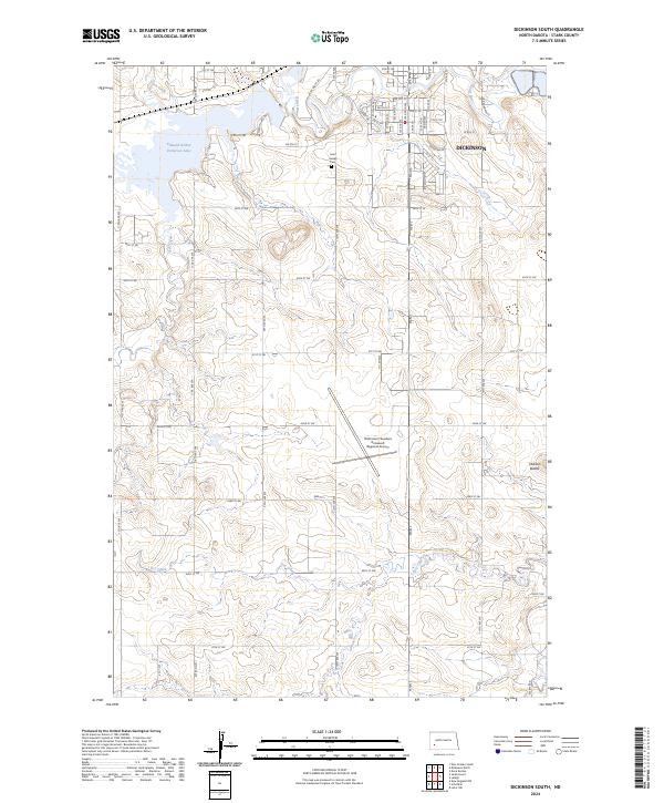
2024 Dickinson South
Stark County, ND
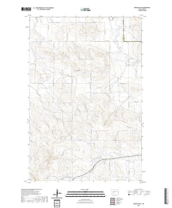
2024 Indian Butte
Stark County, ND
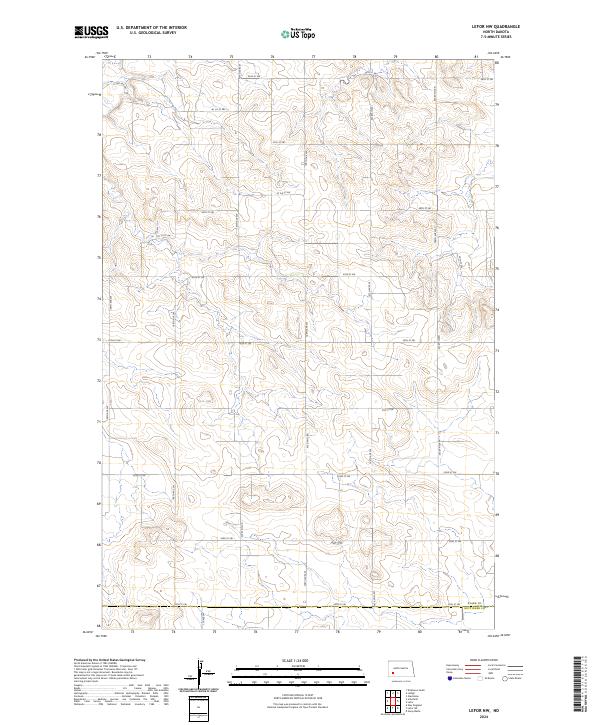
2024 Lefor NW
Stark County, ND
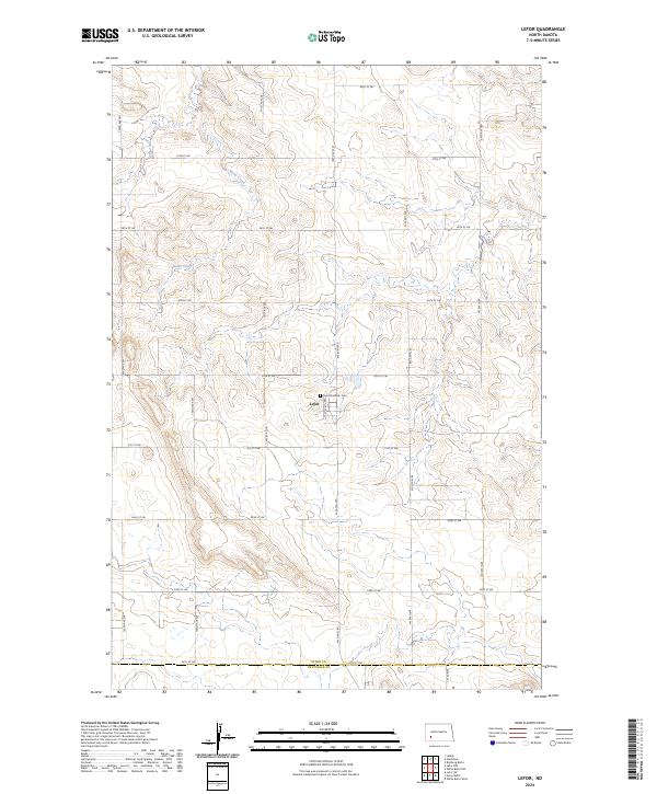
2024 Lefor
Stark County, ND
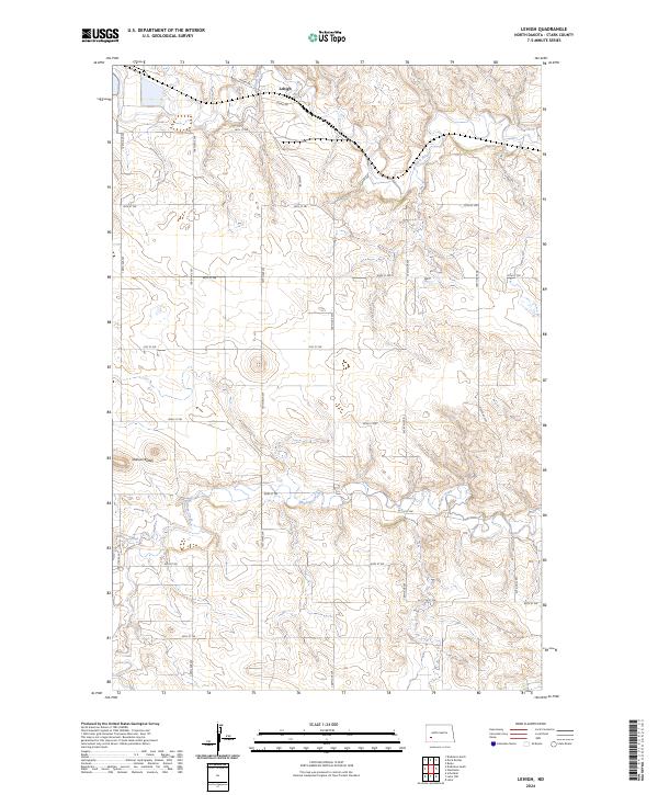
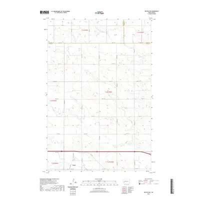
2024 Lehigh
Stark County, ND
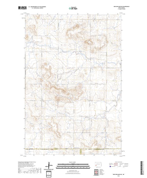
2024 New England NW
Stark County, ND
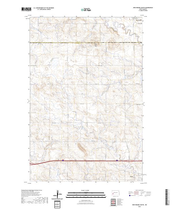
2024 New Hradec South
Stark County, ND
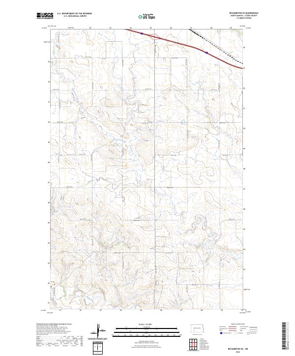
2024 Richardton SE
Stark County, ND
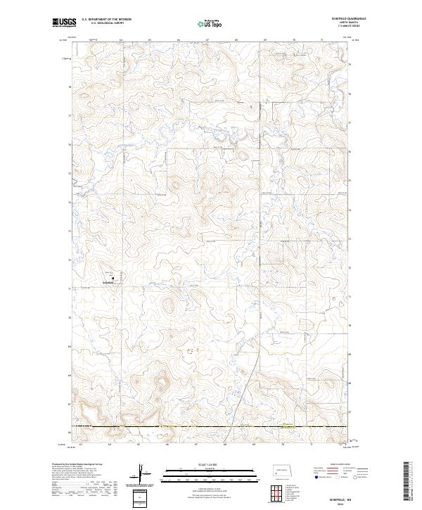
2024 Schefield
Stark County, ND
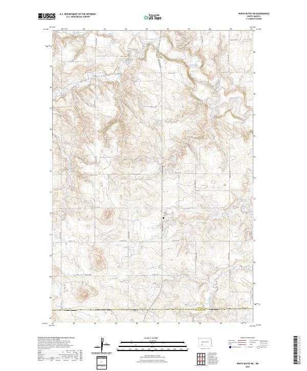
2024 White Butte NE
Stark County, ND
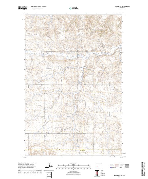
2024 White Butte NW
Stark County, ND