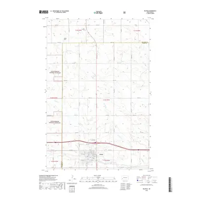
2018 Map of Belfield
USGS Topo · Published 2018About this map
The town of Belfield stands at a central junction on the high plains of western North Dakota, marking a point where the prairie begins to break into the drainage of the Heart River. This landscape is defined by the open expanse of the Little Missouri National Grassland, where section lines and local routes like Talkington Rd bisect the rolling terrain. The map records several notable landmarks significant to local genealogy and geography, including the Saint Stanislaus Cem and the prominent rising of Saddle Butte to the north. Waterways such as Coal Mine Cr provide essential relief to the topography, illustrating the drainage patterns that have historically shaped settlement and agricultural life in Stark and Billings counties. The layout of the town itself is detailed with named streets, providing a precise look at the community's footprint as it existed in the early 21st century.
Find a feature on this map
45 named features on this map. Tap any name to fly to it.
Don’t see what you’re looking for? This feature index may not catch every label — zoom into the map to look around manually.
Map Details
Editions of this 2018 Belfield Map
This is the sole edition of this map. No revisions or reprints were ever made.
Other maps of this area

1953 · Dickinson
USGS Topo · 1:250,000

1953 · Watford City
USGS Topo · 1:250,000

1957 · Dickinson
USGS Topo · 1:250,000

1957 · Watford City
USGS Topo · 1:250,000

1962 · Fryburg NE
USGS Topo · 1:24,000

1962 · Belfield NE
USGS Topo · 1:24,000

1962 · Belfield SW
USGS Topo · 1:24,000

1962 · Fryburg
USGS Topo · 1:24,000

1962 · Belfield
USGS Topo · 1:24,000

1962 · Belfield SE
USGS Topo · 1:24,000