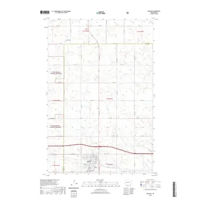
2020 Map of Belfield
USGS Topo · Published 2020About this map
Belfield stands at the center of this 2020 study, situated near the intersection of major regional thoroughfares where the North Dakota landscape transitions into the rolling prairie. The town's religious and civic history is well-documented through several established burial grounds, including Belfield Lutheran Cem, Saint Johns Catholic Cem, and Saint Bernards Catholic Cem, which cluster near the settlement's southern edge. To the north, the isolated Saint Stanislaus Cem and the distinctive elevation of Saddle Butte provide clear landmarks within the vast survey sections. This modern survey captures the enduring rural grid of Stark and Billings counties, where the Heart River and Coal Mine Cr wind through the terrain. Significant portions of the northwestern and southwestern quadrants are dedicated to the Little Missouri National Grassland, preserving the open character of the region.
Find a feature on this map
42 named features on this map. Tap any name to fly to it.
Don’t see what you’re looking for? This feature index may not catch every label — zoom into the map to look around manually.
Map Details
Editions of this 2020 Belfield Map
This is the sole edition of this map. No revisions or reprints were ever made.
Other maps of this area

1953 · Dickinson
USGS Topo · 1:250,000

1953 · Watford City
USGS Topo · 1:250,000

1957 · Dickinson
USGS Topo · 1:250,000

1957 · Watford City
USGS Topo · 1:250,000

1962 · Fryburg NE
USGS Topo · 1:24,000

1962 · Belfield NE
USGS Topo · 1:24,000

1962 · Belfield SW
USGS Topo · 1:24,000

1962 · Fryburg
USGS Topo · 1:24,000

1962 · Belfield
USGS Topo · 1:24,000

1962 · Belfield SE
USGS Topo · 1:24,000