2024 Map of Belfield
USGS Topo · Published 2024About this map
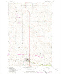
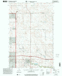
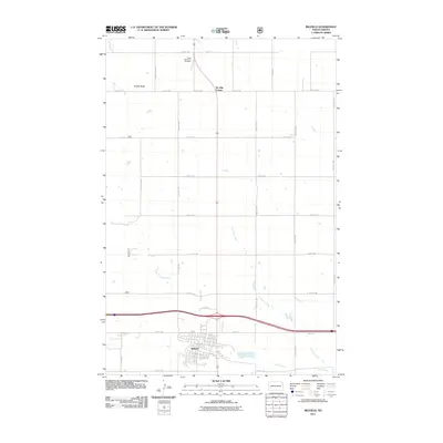
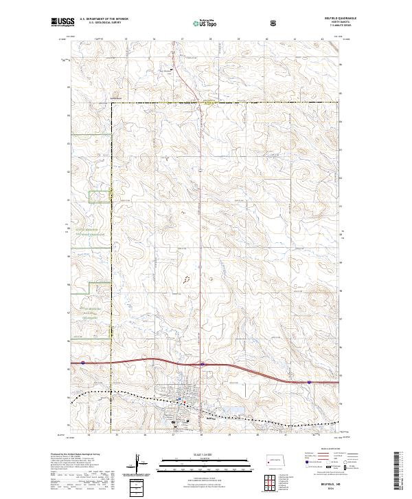
Belfield stands at the intersection of a vast grid of section roads and the meandering path of the Heart River. This 2024 survey captures the community's layout, from the residential blocks along 1st Ave NE and Ryan Dr to the surrounding agricultural landscape of the Little Missouri National Grassland. The map is particularly useful for genealogical research, documenting several local burial sites including Saint Bernards Catholic Cem, Belfield City Cem, and the more isolated Saint Stanislaus Cem to the north. The terrain is marked by distinctive features like Saddle Butte and the drainage of Coal Mine Creek, which carve through the high plains. The boundary between Billings and Stark Counties bisects the region, providing a clear reference for researchers tracking property and family records across these two jurisdictions.
Find a feature on this map
42 named features on this map. Tap any name to fly to it.
Don’t see what you’re looking for? This feature index may not catch every label — zoom into the map to look around manually.
Map Details
Editions of this 2024 Belfield Map
This is the sole edition of this map. No revisions or reprints were ever made.
Historical Maps of Belfield Through Time
8 maps found