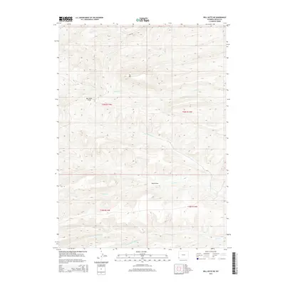
2015 Map of Bell Butte NE
USGS Topo · Published 2015About this map
Elk Mtn stands as a prominent elevation in this high-desert portion of Lincoln County, where the landscape is defined by an intricate network of seasonal drainages and topographic folds. The terrain is deeply incised by watercourses such as Clear Cr in the north and the multi-branched Pine Hollow Cr system to the south, including both the N Fork Pine Hollow Cr and S Fork Pine Hollow Cr.
Find a feature on this map
15 named features on this map. Tap any name to fly to it.
Don’t see what you’re looking for? This feature index may not catch every label — zoom into the map to look around manually.
Map Details
Editions of this 2015 Bell Butte NE Map
This is the sole edition of this map. No revisions or reprints were ever made.
Other maps of this area

1954 · Sage
USGS Topo · 1:62,500

1954 · Ogden
USGS Topo · 1:250,000

1954 · Kemmerer
USGS Topo · 1:62,500

1958 · Ogden
USGS Topo · 1:250,000

1960 · Ogden
USGS Topo · 1:250,000

1962 · Bell Butte NE
USGS Topo · 1:24,000

1962 · Sawtooth Mountain
USGS Topo · 1:24,000

1962 · Elkol SW
USGS Topo · 1:24,000

1962 · Windy Point
USGS Topo · 1:24,000

1962 · Warfield Creek
USGS Topo · 1:24,000