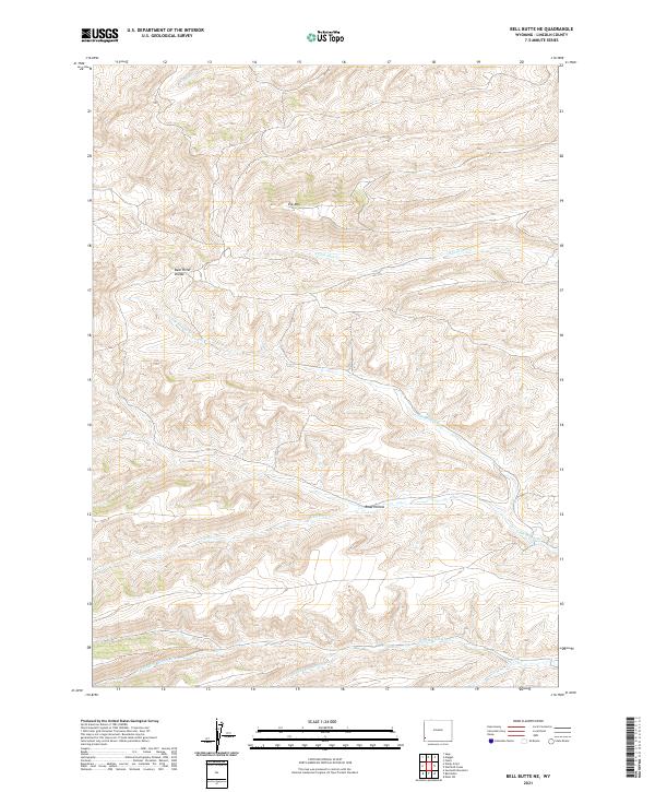
2021 Map of Bell Butte NE
USGS Topo · Published 2021About this map
Bear River Divide forms the backbone of this Lincoln County landscape, dictating the complex network of drainage basins that define the region. High points like Elk Mtn overlook a series of deep cuts including Road Hollow, which provides a natural corridor through the high-elevation terrain. This 2021 survey illustrates how water movement shapes the local geography, with significant headwaters like Chicken Cr and the various branches of the Pine Hollow Cr carving through the townships. The lack of modern residential development on this sheet emphasizes a landscape primarily dedicated to resource management and topographic extremes, where the separation of the Clear Cr and Little Muddy Cr watersheds marks a significant hydrologic boundary.
Find a feature on this map
18 named features on this map. Tap any name to fly to it.
Don’t see what you’re looking for? This feature index may not catch every label — zoom into the map to look around manually.
Map Details
Editions of this 2021 Bell Butte NE Map
This is the sole edition of this map. No revisions or reprints were ever made.
Other maps of this area

1954 · Sage
USGS Topo · 1:62,500

1954 · Ogden
USGS Topo · 1:250,000

1954 · Kemmerer
USGS Topo · 1:62,500

1958 · Ogden
USGS Topo · 1:250,000

1960 · Ogden
USGS Topo · 1:250,000

1962 · Bell Butte NE
USGS Topo · 1:24,000

1962 · Sawtooth Mountain
USGS Topo · 1:24,000

1962 · Elkol SW
USGS Topo · 1:24,000

1962 · Windy Point
USGS Topo · 1:24,000

1962 · Warfield Creek
USGS Topo · 1:24,000