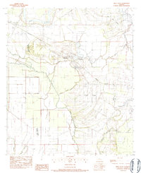
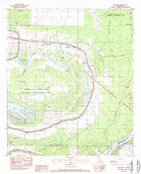
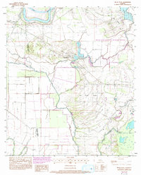
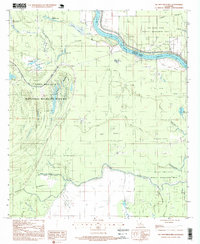
1983 Map of Belle D'eau
USGS Topo · Published 1983This historical map portrays the area of Belle D'eau in 1983, primarily covering Avoyelles Parish as well as portions of Rapides Parish. Featuring a scale of 1:24000, this map provides a highly detailed snapshot of the terrain, roads, buildings, counties, and historical landmarks in the Belle D'eau region at the time. Published in 1983, it is one of 2 known editions of this map due to revisions or reprints.
Find a feature on this map
23 named features on this map. Tap any name to fly to it.
Don’t see what you’re looking for? This feature index may not catch every label — zoom into the map to look around manually.
Map Details
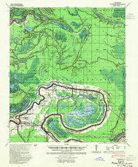
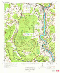
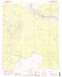
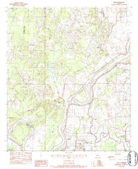
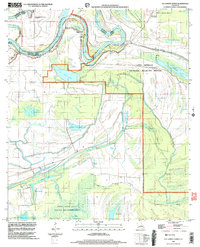
Editions of this 1983 Belle D'eau Map
2 editions found
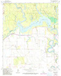
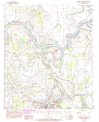
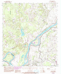
Historical Maps of Oklahoma Through Time
14 maps found
1941 Voorhies
Avoyelles Parish, LA

1955 Odenburg
Avoyelles Parish, LA
1970 Odenburg
Avoyelles Parish, LA
1972 Powell Point
Avoyelles Parish, LA
1982 Big Bend
Avoyelles Parish, LA
1982 Ile Natchitoches
Avoyelles Parish, LA
1982 Lac Sainte Agnes
Avoyelles Parish, LA
1982 Marksville South
Avoyelles Parish, LA
1983 Belle D'Eau
Avoyelles Parish, LA
1983 Effie
Avoyelles Parish, LA
1983 Marksville North
Avoyelles Parish, LA
1993 Effie
Avoyelles Parish, LA
1996 Ile Natchitoches
Avoyelles Parish, LA
1999 Lac Sainte Agnes
Avoyelles Parish, LA