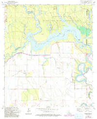
1972 Map of Powell Point
USGS Topo · Published 1993About this map
The Saline State Wildlife Management Area dominates this landscape where the boundaries of LaSalle, Rapides, Avoyelles, and Catahoula parishes converge. This 1972 survey reveals a complex hydrological network defined by the Saline Lake and West Saline Lake basins, where numerous bayous like Taylor Bayou and Muddy Bayou weave through low-lying terrain. The extractive economy of the early 1970s is evident in the West Saline Lake Oil Field and the Saline Lake Oil Field, marked by dense clusters of Oil Wells across the northern sections.
Find a feature on this map
34 named features on this map. Tap any name to fly to it.
Don’t see what you’re looking for? This feature index may not catch every label — zoom into the map to look around manually.
Map Details
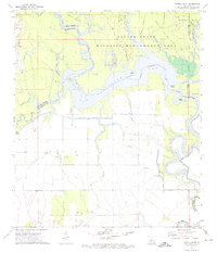
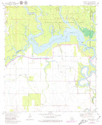
Editions of this 1972 Powell Point Map
3 editions found
Other maps of this area

1935 · Tooleys
USGS Topo · 1:62,500

1940 · Marksville
USGS Topo · 1:62,500

1941 · Voorhies
USGS Topo · 1:62,500

1941 · Buckeye
USGS Topo · 1:62,500

1941 · Tooleys
USGS Topo · 1:62,500

1953 · Alexandria
USGS Topo · 1:250,000

1953 · Natchez
USGS Topo · 1:250,000

1955 · Alexandria
USGS Topo · 1:250,000

1956 · Natchez
USGS Topo · 1:250,000

1959 · Natchez
USGS Topo · 1:250,000