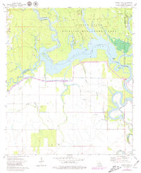
1972 Map of Powell Point
USGS Topo · Published 1979About this map
Saline State Wildlife Management Area dominates this landscape where the boundaries of Rapides, La Salle, Catahoula, and Avoyelles parishes converge. In the early 1970s, the region was defined by a complex network of wetlands and seasonal watercourses, including West Saline Lake, Saline Lake, and the winding Saline Bayou. The presence of numerous Oil Wells and an established Oil Field indicates the industrial importance of the basin alongside its natural conservation. To the west, Big Island hosts the Deville Cem, offering a specific point of interest for genealogists tracing local families. The map also documents the intricate drainage patterns of the area, from the Old Saline River to the smaller Castoff Bayou and Raccoon Bayou, showing the territory before later environmental changes altered the flow of these Louisiana bottomlands.
Find a feature on this map
33 named features on this map. Tap any name to fly to it.
Don’t see what you’re looking for? This feature index may not catch every label — zoom into the map to look around manually.
Map Details
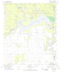
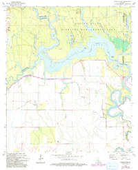
Editions of this 1972 Powell Point Map
3 editions found
Other maps of this area

1935 · Tooleys
USGS Topo · 1:62,500

1940 · Marksville
USGS Topo · 1:62,500

1941 · Voorhies
USGS Topo · 1:62,500

1941 · Buckeye
USGS Topo · 1:62,500

1941 · Tooleys
USGS Topo · 1:62,500

1953 · Alexandria
USGS Topo · 1:250,000

1953 · Natchez
USGS Topo · 1:250,000

1955 · Alexandria
USGS Topo · 1:250,000

1956 · Natchez
USGS Topo · 1:250,000

1959 · Natchez
USGS Topo · 1:250,000