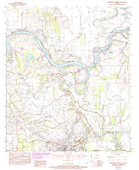
1983 Map of Marksville North
USGS Topo · Published 1993About this map
Red River meanders sharply through this central Louisiana landscape, carving a complex network of oxbows and secondary waterways such as Old Red River and the Saline Cutoff. The geography is defined by the transition from the alluvial bottomlands to the higher ground of the Prairie des Avoyelles, where the city of Marksville is situated. This area reflects a deep-seated French-Acadian influence, visible in the family names attached to landmarks like Bordelon Cem and settlements such as Brouillette and Moncla.
Find a feature on this map
33 named features on this map. Tap any name to fly to it.
Don’t see what you’re looking for? This feature index may not catch every label — zoom into the map to look around manually.
Map Details
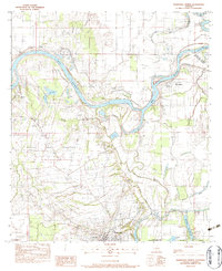
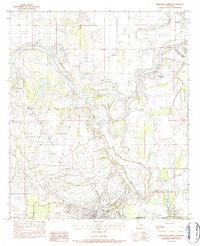
Editions of this 1983 Marksville North Map
3 editions found
Other maps of this area

1935 · Tooleys
USGS Topo · 1:62,500

1940 · Marksville
USGS Topo · 1:62,500

1941 · Voorhies
USGS Topo · 1:62,500

1941 · Buckeye
USGS Topo · 1:62,500

1941 · Tooleys
USGS Topo · 1:62,500

1953 · Alexandria
USGS Topo · 1:250,000

1953 · Natchez
USGS Topo · 1:250,000

1955 · Alexandria
USGS Topo · 1:250,000

1956 · Natchez
USGS Topo · 1:250,000

1959 · Natchez
USGS Topo · 1:250,000