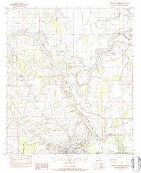
1983 Map of Marksville North
USGS Topo · Published 1984About this map
The Red River dominates this portion of Avoyelles Parish, cutting a winding path through a landscape defined by oxbows and intricate bayou networks. To the south, the Prairie des Avoyelles provides a stable foundation for the parish seat at Marksville, while the surrounding lowlands are crisscrossed by water bodies like L'Eau Noire and Petit Bayou. This survey captures the rural character of the region in the late 1970s and early 1980s, documenting a community deeply connected to its waterways and agricultural land.
Find a feature on this map
34 named features on this map. Tap any name to fly to it.
Don’t see what you’re looking for? This feature index may not catch every label — zoom into the map to look around manually.
Map Details
Editions of this 1983 Marksville North Map
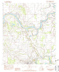
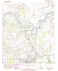
3 editions found
Other maps of this area

1935 · Tooleys
USGS Topo · 1:62,500

1940 · Marksville
USGS Topo · 1:62,500

1941 · Voorhies
USGS Topo · 1:62,500

1941 · Buckeye
USGS Topo · 1:62,500

1941 · Tooleys
USGS Topo · 1:62,500

1953 · Alexandria
USGS Topo · 1:250,000

1953 · Natchez
USGS Topo · 1:250,000

1955 · Alexandria
USGS Topo · 1:250,000

1956 · Natchez
USGS Topo · 1:250,000

1959 · Natchez
USGS Topo · 1:250,000