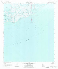
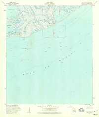
1953 Map of Belle Pass
USGS Topo · Published 1975About this map
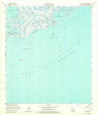
Belle Pass serves as the focal point of this coastal landscape, where the waters of the Gulf of Mexico meet the intricate marshlands of southern Louisiana. The 1950s industry is clearly visible through an emerging network of energy infrastructure, including numerous offshore platforms, scattered Oil Wells, and several pipelines crossing the tidewaters. These features signal the early expansion of the petroleum sector in the Bay Marchand area, contrasting with the natural flow of Bayou Lafourche and Bayou Tartellon. The map documents a fluid shoreline characterized by shifting inlets and interior basins like Bay Champagne and Timbalier Bay. Navigation and monitoring are supported by localized landmarks such as a Gaging Station and a Light, which provide essential orientation points for those studying the mid-century maritime and industrial evolution of the Gulf Coast.
Find a feature on this map
19 named features on this map. Tap any name to fly to it.
Don’t see what you’re looking for? This feature index may not catch every label — zoom into the map to look around manually.
Map Details
Editions of this 1953 Belle Pass Map
4 editions found
Other maps of this area

1892 · Cheniere Caminada
USGS Topo · 1:62,500

1894 · Timbalier
USGS Topo · 1:62,500

1935 · Pelican Pass
USGS Topo · 1:31,680

1935 · Calumet Island
USGS Topo · 1:31,680

1935 · Leeville
USGS Topo · 1:31,680

1945 · New Orleans
USGS Topo · 1:250,000

1945 · Leeville
USGS Topo · 1:31,680

1947 · Caminada Pass
USGS Topo · 1:31,680
1949 · Belle Pass
USGS Topo · 1:31,680
1953 · Belle Pass
USGS Topo · 1:24,000