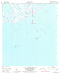
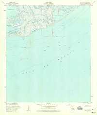
1953 Map of Belle Pass
USGS Topo · Published 1980About this map
Bayou Lafourche meets the open waters of the Gulf of Mexico at this critical coastal junction, where the transition from inland marsh to maritime environment is marked by shifting sandbars and man-made infrastructure. The landscape is defined by the heavy presence of energy industry assets, with numerous platforms and oil wells dotting the offshore waters, supported by a network of submerged pipelines and a concentrated group of oil tanks near B. Tartellon. Navigation is aided by a Light positioned near the western edge of Belle Pass, a vital corridor between the wetlands and the sea.
Find a feature on this map
18 named features on this map. Tap any name to fly to it.
Don’t see what you’re looking for? This feature index may not catch every label — zoom into the map to look around manually.
Map Details
Editions of this 1953 Belle Pass Map
4 editions found
Other maps of this area

1892 · Cheniere Caminada
USGS Topo · 1:62,500

1894 · Timbalier
USGS Topo · 1:62,500

1935 · Pelican Pass
USGS Topo · 1:31,680

1935 · Calumet Island
USGS Topo · 1:31,680

1935 · Leeville
USGS Topo · 1:31,680

1945 · New Orleans
USGS Topo · 1:250,000

1945 · Leeville
USGS Topo · 1:31,680

1947 · Caminada Pass
USGS Topo · 1:31,680
1949 · Belle Pass
USGS Topo · 1:31,680
1953 · Belle Pass
USGS Topo · 1:24,000