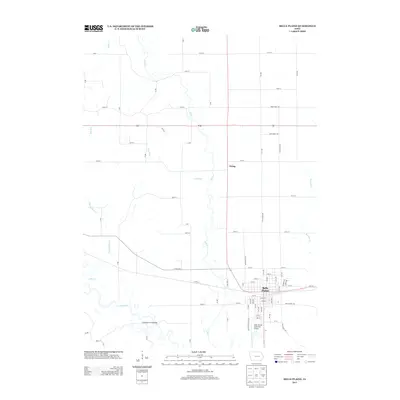
2013 Map of Belle Plaine
USGS Topo · Published 2013About this map
The Iowa River winds through the southern reaches of this Benton County landscape, creating a complex system of bends and floodplains near Belle Plaine. This settlement serves as a regional hub where the grid of the town meets the arterial routes of 21st St and 10th Avenue Dr. North of the city, the terrain is defined by a series of north-south waterways including Salt Creek, Hog Run, and the uniquely named Plague Mine Creek, which carve their paths through a strictly surveyed agricultural grid. Small rural clusters like Irving punctuate the landscape, connected by a network of gravel and paved roads such as 310 St and X Ave. The presence of the Belle Plaine Municipal Airport south of the main town area indicates the modern logistical role this Iowa community plays within the larger river valley economy.
Find a feature on this map
70 named features on this map. Tap any name to fly to it.
Don’t see what you’re looking for? This feature index may not catch every label — zoom into the map to look around manually.
Map Details
Editions of this 2013 Belle Plaine Map
This is the sole edition of this map. No revisions or reprints were ever made.
Other maps of this area

1954 · Waterloo
USGS Topo · 1:250,000

1954 · Des Moines
USGS Topo · 1:250,000

1955 · Waterloo
USGS Topo · 1:250,000

1956 · Des Moines
USGS Topo · 1:250,000

1957 · Des Moines
USGS Topo · 1:250,000

1965 · Ladora
USGS Topo · 1:24,000

1965 · Keystone South
USGS Topo · 1:24,000

1968 · Belle Plaine SW
USGS Topo · 1:24,000

1968 · Belle Plaine
USGS Topo · 1:24,000

1968 · Chelsea
USGS Topo · 1:24,000