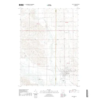
2018 Map of Belle Plaine
USGS Topo · Published 2018About this map
The Iowa River meanders across the southern portion of this landscape, its broad floodplain marked by the Chambers Ford Bridge and the marshy expanses near the Belle Plaine Municipal Airport. As the terrain rises northward into the rolling divides between Salt Creek, Wolf Cr, and Buckeye Cr, the map reveals a dense network of nineteenth-century pioneer burial sites. These include family and community-named locations like Arbuthnot Cem, Dvorak Cem, and Redman Cem. The town of Belle Plaine serves as the regional hub at the intersection of numerous local routes, such as Main St and 78th Street Trl. Further north, the small settlement of Irving sits near the county line, surrounded by agricultural sections that have defined this part of Benton County for generations.
Find a feature on this map
60 named features on this map. Tap any name to fly to it.
Don’t see what you’re looking for? This feature index may not catch every label — zoom into the map to look around manually.
Map Details
Editions of this 2018 Belle Plaine Map
This is the sole edition of this map. No revisions or reprints were ever made.
Other maps of this area

1954 · Waterloo
USGS Topo · 1:250,000

1954 · Des Moines
USGS Topo · 1:250,000

1955 · Waterloo
USGS Topo · 1:250,000

1956 · Des Moines
USGS Topo · 1:250,000

1957 · Des Moines
USGS Topo · 1:250,000

1965 · Ladora
USGS Topo · 1:24,000

1965 · Keystone South
USGS Topo · 1:24,000

1968 · Belle Plaine SW
USGS Topo · 1:24,000

1968 · Belle Plaine
USGS Topo · 1:24,000

1968 · Chelsea
USGS Topo · 1:24,000