
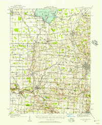
1913 Map of Bellefontaine
USGS Topo · Published 1913About this map
The waters of Indian Lake dominate the northern landscape of Logan County, dotted with island landmarks such as Wolf Island and Orchard Island. This 1913 survey details a region defined by an intensive network of early twentieth-century transit, where the Ohio Electric Railway and the Toledo and Ohio Central Railway intersect at hubs like Huntsville and Bellefontaine. Rural life is meticulously documented through numbered schoolhouses and country congregations including Muchinippi Church and Quaker Church. The mapping reveals the social infrastructure of the era, specifically identifying the County Infirmary and the Childrens Home north of the county seat. Along the western edge, the path of the Greenville Road cuts through Bloomfield, while the Miami River and its various branches, such as Mud Branch, shape the agricultural valley.
Find a feature on this map
85 named features on this map. Tap any name to fly to it.
Don’t see what you’re looking for? This feature index may not catch every label — zoom into the map to look around manually.
Map Details
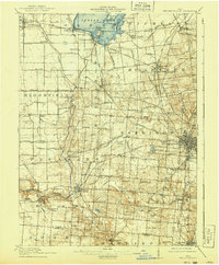
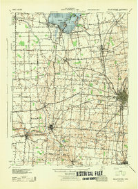
Editions of this 1913 Bellefontaine Map
2 editions found
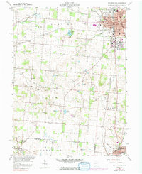
Historical Maps of Miami Township Through Time
7 maps found


Featured Locations
- Bellefontaine, OH
- De Graff, OH
- West Liberty, Liberty Township
- Russells Point, Washington Township
- Lakeview, Stokes Township