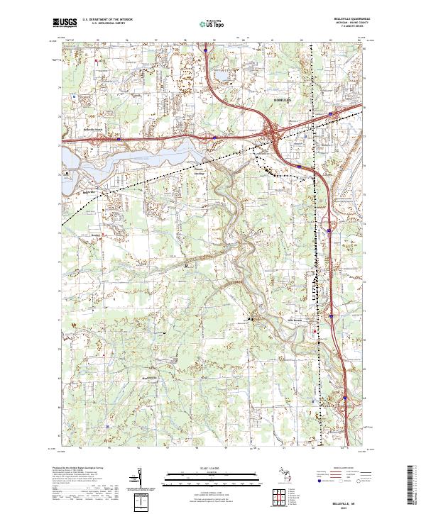
2023 Map of Belleville
USGS Topo · Published 2023About this map
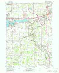
Belleville and the Huron River corridor anchor this contemporary survey of southwestern Wayne County, where the landscape is defined by its sophisticated water management network and aviation infrastructure. The expansive footprint of the Detroit Metropolitan Wayne County Airport dominates the eastern section, illustrating the industrial scale of the modern region. The map reveals a dense system of historical drainage infrastructure, including the Strong Drain, McClaughrey Drain, and Robinson Drain, which have long shaped the development of communities like Romulus and French Landing. Genealogists will find a concentration of burial grounds throughout the area, from the Romulus Memorial Cem and Tyler Street Cem in the north to the Nowland Cem near New Boston and Mallett Memorial Cem further west, providing a comprehensive view of the township's long-established family history.
Find a feature on this map
212 named features on this map. Tap any name to fly to it.
Don’t see what you’re looking for? This feature index may not catch every label — zoom into the map to look around manually.
Map Details
Editions of this 2023 Belleville Map
This is the sole edition of this map. No revisions or reprints were ever made.
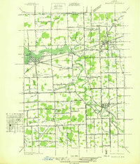
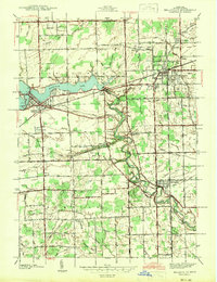
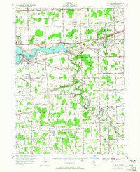
Historical Maps of Martinsville Through Time
5 maps found
Featured Locations
- Belleville, MI
- Huron Charter Township, MI
- Van Buren Charter Township, MI
- Romulus, MI
- Sumpter Township, MI