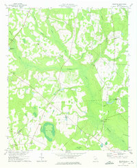
1974 Map of Bellevue
USGS Topo · Published 1976About this map
Buckhead Creek and its many tributaries, including Rosemary Creek and Beaverdam Creek, define the drainage of this East Georgia landscape. Recorded in the mid-1970s, the area is characterized by a dense network of rural religious and community landmarks. Genealogists may find particular value in the numerous named houses of worship, such as Big Buckhead Ch and Carswell Grove Ch, along with family-named burial sites like Porterville Cem. The map captures a transition across the Burke and Jenkins county line, where large water bodies such as Big Dukes Pond and Jones Pond dominate the southern reaches. Industrial and agricultural history is evidenced by McCullough Millpond on Eightmile Cr and The Canal, illustrating how water resources were managed for local use before the turn of the century.
Find a feature on this map
28 named features on this map. Tap any name to fly to it.
Don’t see what you’re looking for? This feature index may not catch every label — zoom into the map to look around manually.
Map Details
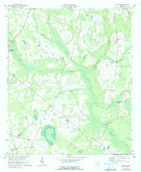
Editions of this 1974 Bellevue Map
2 editions found
Other maps of this area

1919 · Gough
USGS Topo · 1:62,500

1920 · Millen
USGS Topo · 1:62,500

1920 · Greens Cut
USGS Topo · 1:62,500

1943 · Greens Cut
USGS Topo · 1:62,500

1943 · Millen
USGS Topo · 1:62,500

1943 · Augusta East
USGS Topo · 1:125,000

1943 · Millen
USGS Topo · 1:125,000

1947 · Savannah
USGS Topo · 1:250,000

1948 · Savannah
USGS Topo · 1:250,000

1948 · Gough
USGS Topo · 1:62,500