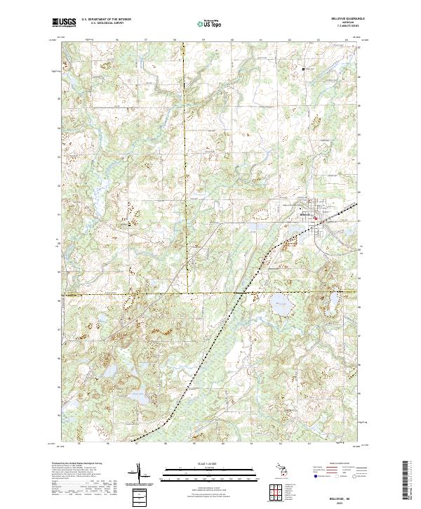
2023 Map of Bellevue
USGS Topo · Published 2023About this map
Bellevue serves as the primary hub in this southern Michigan landscape, situated where the Battle Creek waterway cuts through the terrain. The village is surrounded by a network of rural routes such as Love Hwy and Assyria Hwy, reflecting a long-established agricultural and transportation grid. The map highlights the complex hydrography of the region, where numerous named bodies of water like Wolf Lake, Wiegands Lake, and Clear Lake dot the countryside, often connected by small tributaries including Wanadoga Creek and Ackley Creek.
Find a feature on this map
74 named features on this map. Tap any name to fly to it.
Don’t see what you’re looking for? This feature index may not catch every label — zoom into the map to look around manually.
Map Details
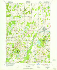
Editions of this 2023 Bellevue Map
This is the sole edition of this map. No revisions or reprints were ever made.
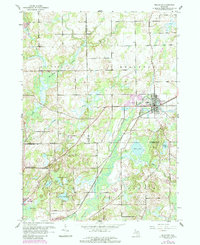
Historical Maps of Pennfield Charter Township Through Time
Featured Locations
- Assyria Township, MI
- Convis Township, MI
- Pennfield Charter Township, MI
- Bellevue Township, MI
- Bellevue, Bellevue Township