
1954 Map of Bellingham North
USGS Topo · Published 1957About this map
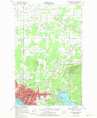
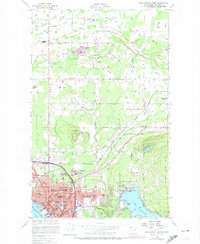
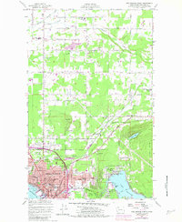
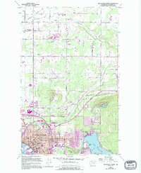
Bellingham spreads across this 1950s landscape, illustrating the city's northward expansion toward the agricultural reaches of Whatcom County. The urban street grid, reaching from Bellingham Bay to the shores of Lake Whatcom, gives way to the industrial sites like Larson Mill and the lakeside neighborhood of Silver Beach. Public infrastructure and social life are well-documented, featuring several schools such as Roeder Sch, Washington Sch, and Harmony School, alongside landmarks like Needham Hospital and the Bellingham Country Club.
Find a feature on this map
70 named features on this map. Tap any name to fly to it.
Don’t see what you’re looking for? This feature index may not catch every label — zoom into the map to look around manually.
Map Details
Editions of this 1954 Bellingham North Map
5 editions found
Other maps of this area

1906 · Sumas
USGS Topo · 1:62,500

1907 · Blaine
USGS Topo · 1:62,500

1908 · Sumas
USGS Topo · 1:62,500

1918 · Samish Lake
USGS Topo · 1:62,500

1943 · Anacortes
USGS Topo · 1:62,500

1951 · Anacortes
USGS Topo · 1:62,500

1952 · Lake Whatcom
USGS Topo · 1:24,000

1952 · Bertrand Creek
USGS Topo · 1:24,000

1952 · Lynden
USGS Topo · 1:24,000

1952 · Lawrence
USGS Topo · 1:24,000