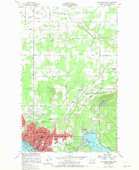
1954 Map of Bellingham North
USGS Topo · Published 1970About this map
Bellingham is captured at a point of significant post-war expansion in this 1954 survey, showing the northward spread of residential and industrial development. The city's northern edge is defined by institutional and recreational landmarks like the USDA Soil Conservation Plant Materials Center and the Bellingham Country Club, while the urban core features established schools such as Roosevelt Sch and Washington Sch. Along the eastern shoreline of Lake Whatcom, the Larson Mill and Silver Beach area represent the region's enduring connection to the timber and milling industries.
Find a feature on this map
56 named features on this map. Tap any name to fly to it.
Don’t see what you’re looking for? This feature index may not catch every label — zoom into the map to look around manually.
Map Details
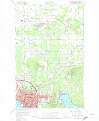
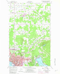
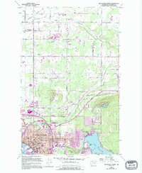
Editions of this 1954 Bellingham North Map
5 editions found

Other maps of this area

1906 · Sumas
USGS Topo · 1:62,500

1907 · Blaine
USGS Topo · 1:62,500

1908 · Sumas
USGS Topo · 1:62,500

1918 · Samish Lake
USGS Topo · 1:62,500

1943 · Anacortes
USGS Topo · 1:62,500

1951 · Anacortes
USGS Topo · 1:62,500

1952 · Lake Whatcom
USGS Topo · 1:24,000

1952 · Bertrand Creek
USGS Topo · 1:24,000

1952 · Lynden
USGS Topo · 1:24,000

1952 · Lawrence
USGS Topo · 1:24,000