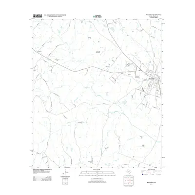
2013 Map of Bellville
USGS Topo · Published 2013About this map
The town of Bellville serves as the focal point of this Austin County survey, where the established street grid meets the winding courses of Piney Cr and W Mill Cr. The landscape is defined by its agricultural and energy production history, evidenced by the Nelsonville Gas Field in the northwest and the Millheim Gas Field to the southeast. Family-named burial grounds like Machemehl Cem, Muery Cem, and Ueckert Cem are scattered throughout the rural sections, offering a valuable record for genealogists tracing the German and Central European heritage prevalent in this part of Texas. Low-lying drainages including Sandy Cr and Cat Spring Cr cut through the terrain, while the curiously named Traylor Tick Farm Airport stands out as a unique localized landmark north of the Mill Creek waters.
Find a feature on this map
116 named features on this map. Tap any name to fly to it.
Don’t see what you’re looking for? This feature index may not catch every label — zoom into the map to look around manually.
Map Details
Editions of this 2013 Bellville Map
This is the sole edition of this map. No revisions or reprints were ever made.
Other maps of this area
1930 · Brenham
USGS Topo · 1:62,500
1953 · Seguin
USGS Topo · 1:250,000
1954 · Austin
USGS Topo · 1:250,000
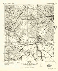
1956 · Bellville
USGS Topo · 1:62,500
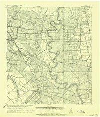
1956 · Sealy
USGS Topo · 1:62,500
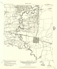
1956 · Hempstead
USGS Topo · 1:62,500
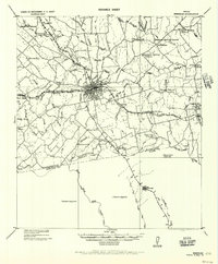
1956 · Brenham
USGS Topo · 1:62,500
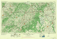
1958 · Seguin
USGS Topo · 1:250,000
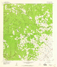
1958 · Bernardo
USGS Topo · 1:24,000
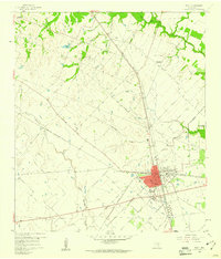
1960 · Sealy
USGS Topo · 1:24,000