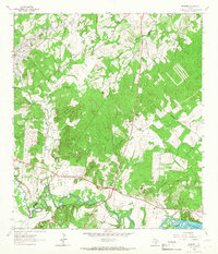
1964 Map of Belmont
USGS Topo · Published 1966About this map
The Guadalupe River meanders across the southern portion of this landscape, its path punctuated by oxbows and the waters of Lake Gonzales in the southeast corner. The small community of Belmont serves as a central hub, situated near the confluence of major drainage systems like Nash Creek and Clemens Creek. The presence of St James Ch, Newbirth Ch, and several rural burial sites, including Nixon Cem and Nash Creek Cem, suggests a long-established network of family farms and small-scale cattle ranching. The terrain is defined by a mix of wooded uplands and fertile river bottoms, with Dilworth Spr and a local Gravel Pit highlighting the reliance on natural water sources and local materials in this part of the county during the mid-1960s.
Find a feature on this map
13 named features on this map. Tap any name to fly to it.
Don’t see what you’re looking for? This feature index may not catch every label — zoom into the map to look around manually.
Map Details
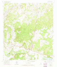
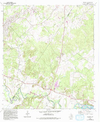
Editions of this 1964 Belmont Map
3 editions found
Other maps of this area

1911 · San Marcos
USGS Topo · 1:125,000

1919 · San Marcos
USGS Topo · 1:125,000

1920 · Smiley
USGS Topo · 1:125,000

1924 · San Marcos 3-d
USGS Topo · 1:48,000

1925 · San Marcos 4-c
USGS Topo · 1:48,000

1925 · San Marcos 4-a
USGS Topo · 1:48,000

1929 · Luling
USGS Topo · 1:62,500

1930 · Seguin
USGS Topo · 1:62,500

1942 · Dewville
USGS Topo · 1:62,500

1953 · Seguin
USGS Topo · 1:250,000