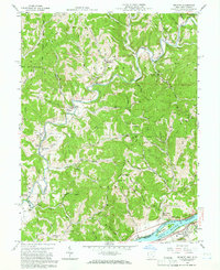
1958 Map of Belmont
USGS Topo · Published 1966About this map
The Little Muskingum River meanders through a landscape defined by petroleum extraction and small agricultural communities in the late 1950s. The presence of the Cow Run Oil Field and Porter Run Oil Field indicates the region's industrial focus, with numerous unlabeled wells dotting the hillsides between Moss Run and Gracey. Along the banks of the Ohio River, the Baltimore and Ohio Railroad tracks parallel the water, serving the riverside settlement of Belmont and passing near Broadback Island.
Find a feature on this map
74 named features on this map. Tap any name to fly to it.
Don’t see what you’re looking for? This feature index may not catch every label — zoom into the map to look around manually.
Map Details
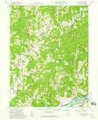
Editions of this 1958 Belmont Map
2 editions found
Other maps of this area

1903 · Macksburg
USGS Topo · 1:62,500

1904 · Marietta
USGS Topo · 1:62,500

1905 · New Matamoras
USGS Topo · 1:62,500

1905 · Macksburg
USGS Topo · 1:62,500

1906 · Saint Marys
USGS Topo · 1:62,500

1924 · St Marys
USGS Topo · 1:62,500

1924 · New Matamoras
USGS Topo · 1:62,500

1924 · Marietta
USGS Topo · 1:62,500

1926 · New Matamoras
USGS Topo · 1:62,500

1927 · Marietta
USGS Topo · 1:62,500