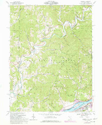
1969 Map of Belmont
USGS Topo · Published 1977About this map
The Little Muskingum River meanders through a landscape defined by deep valleys and timbered ridges, much of which is protected within the Wayne National Forest. This 1969 field-checked survey reveals an area where early petroleum extraction left a visible footprint, with hundreds of oil and gas wells peppering the hillsides between Lawrence and Newell Run. The settlement pattern follows the narrow creek bottoms and ridge tops, connected by a network of winding roads like Zion Ridge Road and Peggs Road.
Find a feature on this map
103 named features on this map. Tap any name to fly to it.
Don’t see what you’re looking for? This feature index may not catch every label — zoom into the map to look around manually.
Map Details
Editions of this 1969 Belmont Map
2 editions found
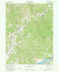
Other maps of this area

1903 · Macksburg
USGS Topo · 1:62,500

1904 · Marietta
USGS Topo · 1:62,500

1905 · New Matamoras
USGS Topo · 1:62,500

1905 · Macksburg
USGS Topo · 1:62,500

1906 · Saint Marys
USGS Topo · 1:62,500

1924 · St Marys
USGS Topo · 1:62,500

1924 · New Matamoras
USGS Topo · 1:62,500

1924 · Marietta
USGS Topo · 1:62,500

1926 · New Matamoras
USGS Topo · 1:62,500

1927 · Marietta
USGS Topo · 1:62,500